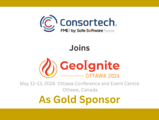
automation

International Geospatial Briefing October 18th

2nd United Nations World Geospatial Information Congress Advances in Automatic Forest mapping from Purdue University Are the Tools Available for…

As-built Update Backlog Challenge Addressed by SSP Innovations

Where there is a challenge, there is a solution. On March 23, 2022, Peter Batty, Chief Research Officer at SSP…

AirWorks CAD View

Easing the Aerial-to-CAD Bottleneck

Data capture is getting easier and faster, but the subsequent step of CAD linework generation is a bottleneck, and even…

The Canadian Firm Accelerating the Creation and Use of 3D Reality Models

Traditional pathways for creating, using, and sharing modeled 3D reality data presents challenges to broader adoption. Montreal-based Prevu3D provides a…

Geoignite 2020 Video: Maxar: Elevation suite – an overview of elevation products

Ryan Hamilton & John Roos from Maxar Technologies presented their earth observation satellites and new advances in photogrammetry. They allow high levels of detail in 3D models that previously only airborne sensors could provide.

Geo Soon: Coaching Robots

Continuous surveying, to support smart cities, infrastructure, geodesign, and construction, is opening expanded—but unconventional—roles for surveyors and geospatial practitioners. “Put…