
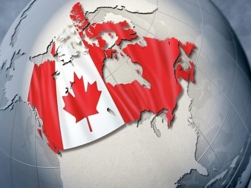
Canada

Canadian Market Analysis with POI Data From the AWS Data Exchange
SafeGraph’s Canada Core Places (Essential Columns) dataset is available for free in the AWS Data Exchange. To use this POI…

The Dark Vessel Detection (DVD) Program – MDA/DFO program takes aim at illegal fishing
Canada has always been a leader in the geospatial community, from Roger Tomlinson’s pioneering work creating the first computerized GIS…

GeoIgnite 2021 Announcement: Canadian Perspectives – The Power of Geospatial Literacy for Space, Earth Observation and Education – April 28th
GeoIgnite is delighted to announce the launch of a new summit at Canada’s National Geospatial Conference. Local Leadership – Global…

Announcement – Canadian Underground Forum (CUF): Advances in locating and mapping underground infrastructure event launches at GeoIgnite this April
Join Canadian leaders at GeoIgnite 2021 for the inaugural Canadian Underground Forum (CUF) that will explore issues and technologies around…

MDA Awarded Contract to use Satellite Based Data Fusion and Analytics to Counter Illegal Fishing
MDA announced that it has been awarded a three-year contract with the Government of Canada Department of Fisheries and Oceans…
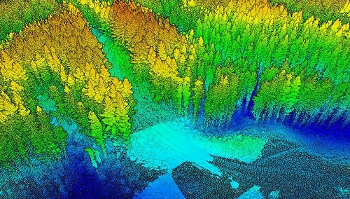
A Japanese Perspective: LiDAR forest data for resource analysis in Japan
The GIS & LiDAR Specialist I am Kei, a passionate GIS & LiDAR Specialist with over 6 years’ experience in…

Introducing New GoGeomatics Online Community Managers : Nick, Jacob and Leo
GoGeomatics Canada is excited to introduce our new volunteer managers to the team this March. Our community managers are the…
Geographic Illiteracy: Can you find Canada on the map?
Study shows 53% of the respondents unable to locate Canada Do you get lost all the time or even have…

Opportunities for workshops, seminars, training, summits, panels, meetings, or forums at GeoIgnite
GeoIgnite is the premier Canadian Geospatial Conference. For 2021, GeoIgnite will be held virtually over three weeks in April. A…

International Geospatial Briefing February 9th – What are we doing about space traffic management?; new urban planning GIS tool to improve urban climate resilience; Drone Privacy Laws; World’s Longest and Deepest Alternating Current Cable Route; Ex-Uber team – Unfolded.ai
What are we doing about space traffic management? As spaceX continues to launch more and more satellites through their ridesharing…
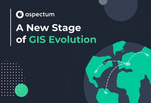
A New Stage of GIS Evolution
The GIS market has grown in size every year for the past decade. With a current capitalization of over USD…

How Location-Based Services Can Help to Locate Mass Social Gatherings
Social Distancing and Illegal Assemblies The coronavirus pandemic is changing our living habits. Social distancing measures have been implemented to…
