
cartography

Avenza Quality Cartographic Output For Data With Adobe Illustrator & MAPublisher – GeoIgnite 2021 Talk On YouTube:
Adobe Illustrator is not a tool you’d associate with geospatial work, but Avenza is here to show you how to…

Future Trends with Dave McIlhagga, President of International Map Industry Association (IMIA)
GoGeomatics Community manager Tanya Tejassvi, had an interesting and insightful conversation with Dave McIlhagga – President of International Map Industry…
May 25-27th: Canada’s Connecting the Dots for Multi-Dimensional Mapping with CCA
2021 Canadian Cartographic Association Conference: “Connecting the Dots for Multi-Dimensional Mapping” Location: onlineDate: Tuesday, May 25 – Thursday, May 27,…
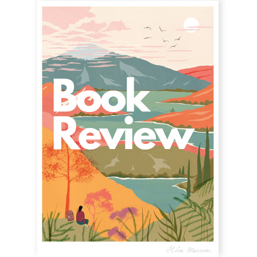
Book Review: Two Trees Make a Forest
Written by: Jessica J. Lee We can’t travel at the moment but this book might just be the next best…

The Next Step in Your Mapping Workflow: Data-driven Map Design with MAPublisher and Geographic Imager for Adobe Creative Cloud
Whether you’re using a traditional GIS (geographic information systems) software that is commercially available or developed by the open source…

A World That Never Was: 5 Oddities From Ancient Maps
Maps through the Ages Maps are incredible tools that have evolved over the ages as society has made technological leaps…
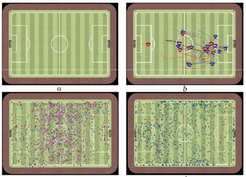
Why are they wearing those GPS vests during a football game? — GI-technology in modern-day soccer
Geographic information technology has been used to answer questions of locations. Where are the sewer lines? How close is the…
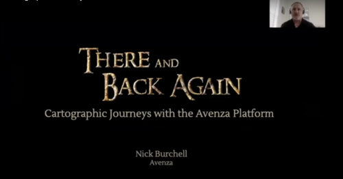
GeoIgnite 2020 Video: Cartographic Journeys with the Avenza Platform ~ Nick Burchell – Director- Avenza
Nick Burchell’s GeoIgnite talk ‘Cartographic Journeys with the Avenza Platform’ was one of the best graphically designed, creative, engaging, and well organised presentations at GeoIgnite 2020.

Five Free and Cheap Ways to Improve Your Geospatial Technology Skills and Learn GIS to Advance Your Career
You don’t have to spend a lot of money or go back to university or college to learn or improve…
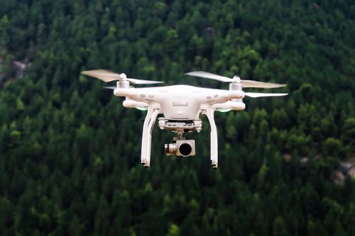
Low-cost, less-time, lesser-logistics and high-accuracy mapping with drone-imagery
Highlights There is a tendency to use aerial photographs and digital images as the cartographic product!These pictures are the primary…
Student Opportunities with Canadian Cartographic Association
The Canadian Cartographic Association (CCA) wishes to bring to your attention several opportunities for geospatial students. Every year the CCA announces…

My Bookcase: The Geography of Canada
It’s been three years since I wrote up my top ten list geography books in a post called 50 Years…
