
cloud
Canadian Geospatial Briefing May 16th: 1. Correlation between BC wildfires and floods 2. NG9-1-1 GIS Validator 3. NRCan migrated petabytes of geo data to the cloud 4. Aerial Imagery Cost-Sharing 5. RCMP using aerial images for missing people
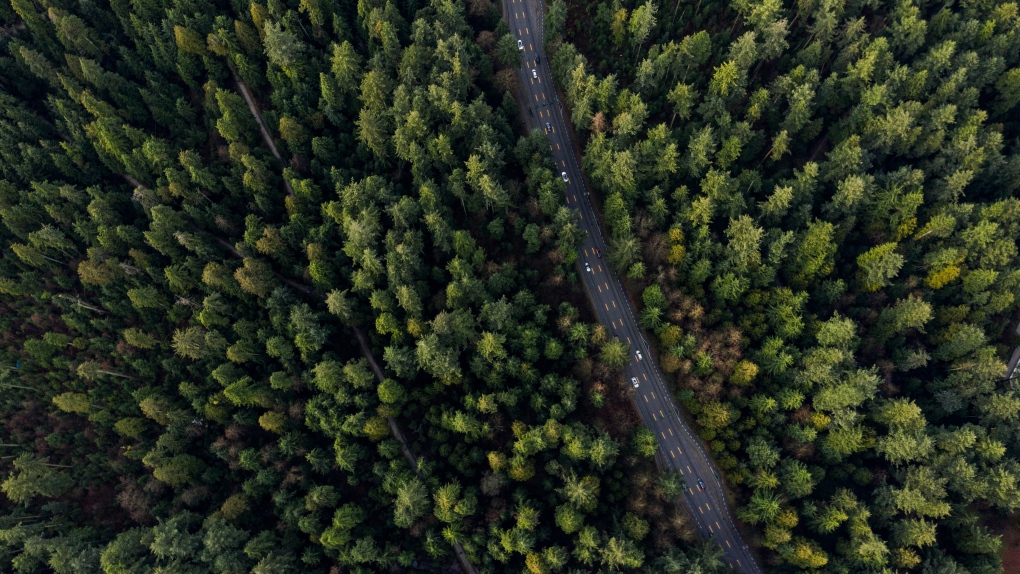
Satellite mapping finds correlation between B.C. wildfires and floods Data scientists at SparkGeo, a geospatial company based in Prince George,…

Canadian Geospatial Briefing March 1st – AI helping response to extreme weather; Inukshuk Geomatics celebrating 20 years; Telesat basing Lightspeed broadband operations in Gatineau; CATALYST Microservices – cloud-based earth observation processing; Canadian Coast Guard testing new UAV; GeoIgnite Career Fair April 14th
Artificial Intelligence helping respond to extreme weather events Researchers at the University of McGill are finding new ways to harvest…

GEOAnalytics.ca – A demonstration cloud-native open platform for Big Data geoscience
Current data-driven and computing intensive research on climate-change, ecosystem modeling, and environmental and natural resources monitoring is based on the…

GeoIgnite: Digital Transformation Beyond Buzzwords
Digital transformation refers to the changes associated with the application of digital technology in all aspects of human society. A…

The Top 5 IT Certifications geospatial professionals need to consider
It is essential that geospatial professionals be aware of which available certifications are considered attractive to organizations, as they indicate…
Your Global Geospatial Briefing for October 9th: Geospatial Data Act; cloud computing; security; NASA tests satellites; blockchain
A federal act to streamline geospatial data The USA recently passed Geospatial Data Act is expected to streamline federal government…
Your Global Geospatial Briefing for September 25th: Geospatial cloud; UK satellites; Geo Week; drone technology; AI dam repair projects
Where are the Geospatial clouds? Will Cadell of Sparkgeo is often asked about geospatial platforms. Clouds are a great low…
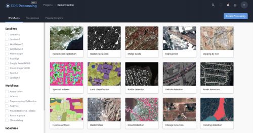
Earth Observation: find, store, analyze and process GIS data within a single EOS platform
Most image analysis tasks can now run online thanks to EOS Platform, a new cloud service by EOS Data Analytics…

May 16: Thunder Bay GoGeomatics Speaker: Rob Rempel – Research Scientist MNRF
You are cordially invited to our fun free event geomatics networking event on May 16th. Tuesday, May 16, 2017 –…

Google Earth Engine – What is a Data Cube and Why Canadians Should Care
What is a data cube and how is it used for big data analytics? How does a data cube work…

UAV Surveys – How to Ensure Accuracy and Precision
For the past four years, I’ve been involved with the capture and delivery of data derived from drones. My experience…

GIS in Action: How Does BC Pinot Noir Express Terroir?
Editors note: In this previously published article, Karl Kliparchuk, BCIT GIS Program Head & Instructor uses GIS to explore the…
