Community
The New Geospatial Imperative: Luc Vaillancourt on Clarity, Value, and User-Centric Innovation
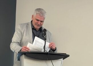
At GeoIgnite 2025 in Ottawa, Luc Vaillancourt, founder of BALIZ, delivered one of the event’s most thought-provoking talks: “Two Solitudes in Geomatics.” Drawing inspiration from Canadian literature and culture, Vaillancourt used the metaphor of “two […]