deforestation
International Geospatial Digest for May 27th 2024
AlphaGeo publishes resilience analytics based on ‘ground truth’ using a novel geospatial platform Explore navigation using Google Maps’ geospatial augmented…
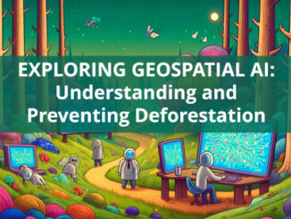
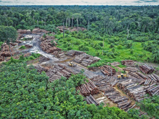
Exploring Geospatial AI: Understanding and Preventing Deforestation
Global forests are one of our most important resources, not only for the service they provide as the lungs of…
International Geospatial Digest for April 1st 2024
Use of remote sensing and GIS technologies to reduce deforestation in Africa Vermont Uses Site Scan for ArcGIS and ArcGIS…
International Geospatial Digest May 22nd, 2023
Google Geospatial Creator: Turning the world into AR stage. IBM’s new Geospatial foundation model could help monitor the earth’s climatic…
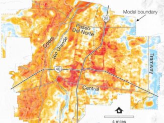
International Geospatial Briefing Dec 6: 1. GPR Painting New Pictures of the Past; 2. Satellite Imagery to Support Clean Water for All; 3. Summer Heat and Environmental Inequality in Albuquerque; 4. Remote Sensing Keeping an Eye on Deforestation; 5. Educating a Skilled Geospatial Workforce in Somalia; 6. Announcing The Virtual Subsurface Utility Mapping Strategy Forum Conference
Ground Penetrating Radar Providing New Insights for Archaeologists New applications of ground penetrating radar (GPR) are allowing archaeologists to gain…
International Geospatial Briefing May 31st, 2021: Using drone technology to assist with pest management; NOAA’s new approach to earth-observation; Using remote sensing data to observe changes in plant populations; Concept3D’s New 360° Map; Mapping Gaza; Five images that show our changing planet
Drone technology uses thermal imaging to identify feral pests on farmland Two airplane pilots and one aircraft engineer are using…
How Remote Sensing Applications Will Help Put a Price on Carbon
Quantifying our Resources Advances in remote sensing are pushing forward our abilities to quantify natural resources. As satellites improve, offering…
Your International Geospatial Briefing for August 17th: NZ Government investment in agritech; AWS unveils new space business segment; Measure local parks using geospatial data; Amazon rainforest cleared in July in Brazil; ESAIL Maritime Sat ready for launch
Government to invest $11.4 million in agricultural technology The New Zealand government undertakes investment in developing the country’s agritech sector,…
Landviewer Now Features Change Detection That Runs In Browser
The major utilization of remote sensing data has been to compare images of an area taken at different times and…
From Australia to Africa, Data Cube technology empowers governments to reach development goals
Using Australia’s Open Data Cube technology, countries in Africa and around the world are finding new ways to use data…