fire

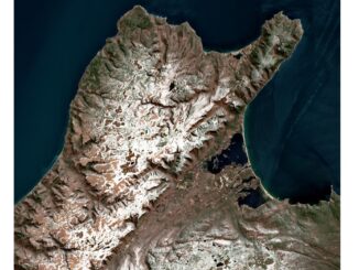
CHORUS Constellation Evolutionalizes How We Understand Climate Change

“CHORUS will evolve our understanding of climate change” CHORUS, MDA’s commercial Earth observation mission and a collaborative multi-sensor constellation, is…

Responding to Wildfires and Emergencies: Increasing Situational Awareness with Avenza Maps and Geospatial Data

In Canada, an estimated 3,600 wildfires burned approximately 581,004 acres in 2020 alone.1 Similarly, in the United States, an estimated…

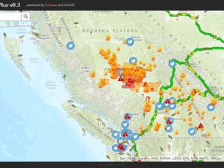
Fire GIS Uses Maps, Data, & Social Media–A Hot Tool for BC Residents, Travellers

Every summer in British Columbia, along with long days, sunshine, heat, and little rain comes an all-too-familiar reality: hundreds of…