Technology
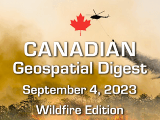
Canadian Geospatial Digest September 4, 2023: Wildfire Edition
Tracking the dimensions of the record-breaking wildfires in Canada Strengthening Canada’s Wildfire Management with WildFireSat Adding drones to the fight against Canadian wildfires Mapping Canada’s Forest Fire History Over 100 Years Things you must understand […]

