
geodesy
International Geospatial Digest for February 19th, 2024
DLR develops mobile station for Satellite Laser Ranging Fathom and World Bank collaborate to enhance flood resilience Black communities are…

Media Sponsors Announced: Canadian GIS & GIM International at the GoGeomatics Expo
Thank you to Canadian GIS & Geomatics & GIM International for being media sponsors for the GoGeomatics Expo in Calgary,…

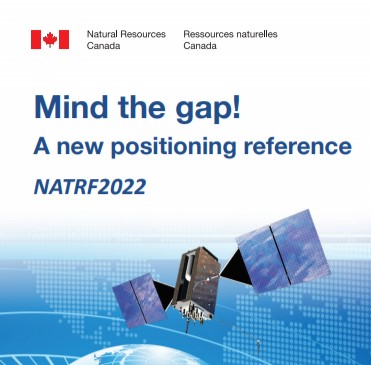
Canada is Moving in 2025 – Canada’s New Reference Frame NATRF2022
As GPS technology constantly evolves and the North American continent deforms, a modernization of our geodetic reference frames to accurately…

Setting Project Control with Natural Resource’s Canada (NRCAN) Precise Point Positioning (PPP) Service
Creating a survey control network for hundreds of kilometers in northern BC and be challenging for a variety of reasons.…

BCIT Geomatics Program | Position Yourself for the Future
Program Overview BCIT Geomatics Program offers a 2 year Geomatics Engineering Technology Diploma which at the completion, students can either…
GeoIgnite 2020 Video: Canadian Geodetic Survey: Canada’s response to United States’ change of reference frame.
In this presentation, Calvin Klatt talks about how the U.S. reference system modernization effort will replace the North American Datum…

The Ellipsoid Crosses Here: Geodetic Plaque Unveiling at UNB’s Head Hall
The University of New Brunswick Department of Geodesy and Geomatics Engineering held a ceremony on Tuesday, 20 June 2017, to…
UNB: Spring Graduate Seminar and Student Technical Conference
The GGE Spring 2017 Graduate Seminar and Student Technical Conference was held on Thursday, 16 March. The well-attended activity…

My COGS GIS Education, Part II
In my first article, I introduced the how and why I chose to attend COGS from the fall of 2014…

Graph Databases – Recent development in Neo4j may help accommodate the Geospatial Community
Graph Databases and GIS & Technology (GIS&T) In the era of big data, graph databases are becoming very popular as…

Geospatial Development: Enhancing GIS curricula with programming skills at UNB
Geospatial information science and technology (GIS&T) has rapidly evolved over the last few decades. This evolution has created a highly…

The Art of Being a Cadastral Surveyor: Key abilities every surveyor needs
The Art of Being a Cadastral Surveyor: The key abilities every surveyor needs There is an art to being a…
