Technology
Vancouver’s Future: Sustainability Driven by Geospatial Techniques
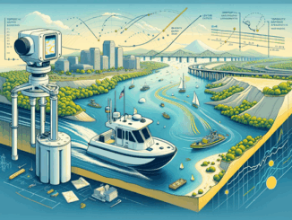
Introduction Vancouver is a city of balance. Surrounded by mountains, forests, and the Pacific Ocean, it is a model for cities striving to grow without losing touch with nature. But this balance is fragile. As […]