
photogrammetric
GeoIgnite 2020 Video: How to challenge the Lasers-scanning market at the cost of a drone
Session: How to challenge the Lasers-scanning market at the cost of a drone and simple tools combined with Artificial Intelligence…
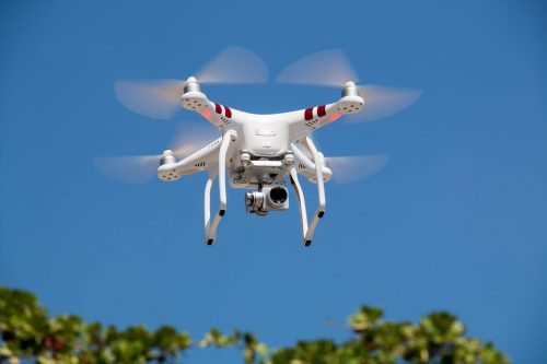
UAV Surveys – How to Ensure Accuracy and Precision
For the past four years, I’ve been involved with the capture and delivery of data derived from drones. My experience…

The Art of Being a Cadastral Surveyor: Key abilities every surveyor needs
The Art of Being a Cadastral Surveyor: The key abilities every surveyor needs There is an art to being a…

Canadian Surveyors “Remark” on History with Elk Pass Boundary Restoration Survey
The Alberta-British Columbia Boundary Commission has just completed a monument restoration survey to restore a number of deteriorated provincial boundary…

PCI Geomatics and PrecisionHawk Enter into Long Term Partnership
PCI Geomatics, a world leading developer of remote sensing and photogrammetric software and systems, announced today it has entered into…
Keystone Aerial Surveys, Inc. optimizes efficiency with Optech Galaxy
Teledyne Optech is pleased to announce that Keystone Aerial Surveys, Inc. has accepted delivery of the most capable airborne lidar…
PCI Geomatics Delivers High Volume Production System (GXL) to Skymap Global in Singapore
MARKHAM, Ontario, Canada—May 25, 2016: PCI Geomatics, a world leading developer of remote sensing and photogrammetric software and systems, announced…
eyesMap3D: The most accurate and powerful 3D photo modeling software
Global based technology company eCapture announced today the launch of its versatile and intuitive software eyesMap3D, to generate accurate 3D…
New Autonomous Airborne Mapping Solution Redefines Industry Expectations
Teledyne Optech is pleased to announce the latest addition to its innovative line of airborne laser terrain mappers, the Optech…
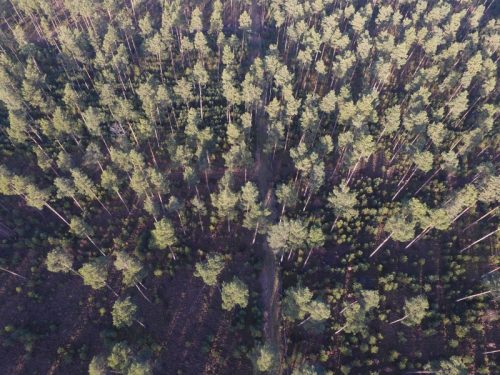
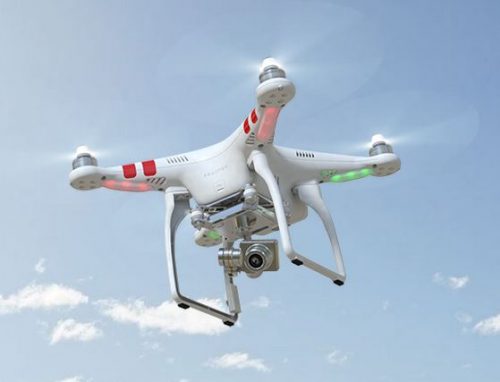
UAV Technology in the Canadian Forestry Sector
The Unmanned Aerial Vehicle (UAV) industry is soaring! Civilian drones are being applied in various global industries ranging from agriculture…
GIS Certification: ASPRS Certification
One type of certification available for GIS and Geomatics professionals is the ASPRS Certification program available from the American…
Innovative solutions for bathymetry at Oceanology International 2016
March 7, 2016 — Teledyne Optech is pleased to announce that it is taking its most powerful and flexible surveying…
