Statistics

Geosystems France Discusses Initiative to Reduce Damage to Underground Utility Networks

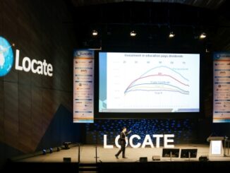
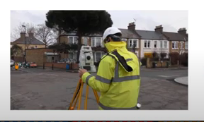
The DT-DICT Is Reducing Damages Patrice Lemire, Directeur General Geosystems France, was the keynote speaker for the March 22, 2022,…

Meet the Stats Guy

Geographer Simon Kuestenmacher is a researcher, writer, and presenter on matters of demographics, economics, and curator of fascinating maps… There…

Collaboration between WGIC and UN mark new milestone strengthening global geospatial information ecosystem

Geospatial World Forum 2019, bringing together more than a thousand industry thought leaders from over 75 countries in Amsterdam, had…

GoGeomatics Speaker Series: Ottawa Archaeology & Geospatial Social

Join GoGeomatics Ottawa on March 18th for Roman Archaeology and GIS!  GoGeomatics Ottawa’s March Speaker Series will feature Alan D.K. Armstrong delivering a…

Using GIS to study health care services and utilization––from local to national

Access to timely and quality health care is an important determinant of health and well-being. Despite universal health coverage in…

QGIS: Performing Viewshed Analysis on Archaeological Sites

In 1927 a Vancouver bylaw was enacted that limited the height of buildings to a maximum of six stories in…

Google Summer of Code Projects: Open Source Geospatial 4 every student

Are you are university student who has solid programming skills, geospatial knowledge and is continuously aiming to become better at…

Top Ten Climate Change Maps and GIS Applications

Awareness for climate change has been steadily increasing ever since the Green Revolution in the 1960s. There is a plethora…

UBC Unveils New Masters of Geomatics for Environmental Management

The UBC Faculty of Forestry is excited to announce that the official approval of the Master of Geomatics for Environmental Management…

Canadian flag

List of Canadian Geomatics Conferences and Events for 2017

This is our list Canadian geomatics conferences and events for 2017. Here you will find events pertaining to GIS, remote…

what3words adopted by six national mapping agencies

what3words, the multi-award winning location reference system, has today announced that six national mapping agencies have adopted 3-word addresses. Used…

It’s a Geospatial world we live in: Find Your Happy Place

When does a space become a place? There are a myriad of small open spaces and buildings throughout towns and…