Community
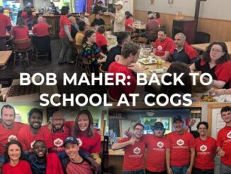
Bob Maher: Back to School at COGS
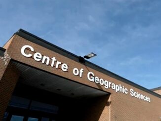
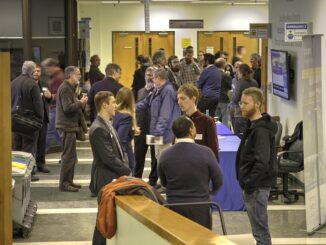
On Friday, GoGeomatics hosted a back-to-school social at COGS (see previous post A Hidden Gem: Harbourville). It included a series of short presentations in the AV room by Tim Webster, Colin MacDonald, Jon Murphy and Ted […]