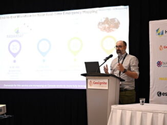
Community
Compartmentalizing the Flames: A New Approach to Wildfire Management
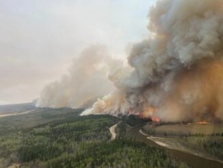
Is wildfire spread random? It looks like that, but it isn’t. In fact, it follows the invisible geometry of landscapes: slopes, vegetation density, and wind corridors. Managing these patterns is a spatial problem. A recent […]