
youtube
A Big Thank You: Lidar CANEX Acknowledges Sponsors, Speakers, and Attendees
Lidar CANEX, renowned as Canada’s Commercial Lidar Expo, took place on March 26, 2024, with the workshop: “Reference System Modernization:…

Making Corporate Decisions using Geospatial Data: Agriculture Agri-Food Canada
Agriculture and Agri-Food Canada supports the Canadian agriculture and agri-food sector through initiatives that promote innovation and competitiveness. In his…

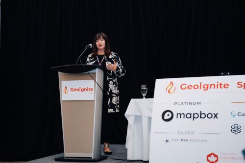
“Analyzing Canadian Communities with POI Data” – SafeGraph
GIS data isn’t just for huge projects, it can also be used perfectly for small-scale community studies that make a…

Canadian Council on Geomatics (CCOG) – Fostering Collaboration Across Canada’s Jurisdictions
The Canadian Council on Geomatics (CCOG) has been working for over 50 years with the federal government to help with…

The Canadian Geodetic Survey – Supporting Accurate Geospatial Positioning in Canada
NRCan’s Canadian Geodetic Survey is responsible for defining, maintaining, and providing access to the Canadian Spatial Reference System (CSRS). In…
GeoIgnite Talk On YouTube: A closer look at the NV5 Geospatial 2020 aerial topobathymetric lidar survey of Montreal
In case you missed it GoGeomatics is highlighting one of the most interesting talks from GeoIgnite from this past April.…

Spatial Finance, New Markets For Earth Observation Panel Discussion: Shaking up the EA Marketplace
This panel, which got a little “Spicy” as one senior Canadian government bureaucrat described it, closed out a great Day Two…

Avenza Quality Cartographic Output For Data With Adobe Illustrator & MAPublisher – GeoIgnite 2021 Talk On YouTube:
Adobe Illustrator is not a tool you’d associate with geospatial work, but Avenza is here to show you how to…
GIS & Beyond: Smart Software Solutions Made In Poland from GISPartner, GeoIgnite 2021 Talk On YouTube
Day Three of the GeoIgnite conference featured Gold Sponsor GISPartner. They continue to make waves as a dynamically developing European…

Planet: “Advances in Earth Observation & Analytics Technologies + Deployment in Forest & Climate Solutions” – YouTube Video GeoIgnite 2021
Every day, Planet images the full Earth at 3.5m resolution and anywhere sub-daily at <50cm. This data is critical in…
Geospatial Metadata: The Ties That Bind- Tobias Spears, Head of the Ocean Data & Information Section at Fisheries & Oceans Canada – GeoIgnite Talk on YouTube
The Government of Canada and organizations such as the UN recognize the critical role of standards in geographic information and…
GeoIgnite Talk On YouTube: “Locating the Geo Blockchain” Bilyana Anicic CEO, Aurora Consulting
Blockchain is a powerful tool that is used in the geospatial industry for increased accuracy of transactions and improved decision-making.…
