
Co-located with the GoGeomatics Expo, the GeoIgnite Western Canada Career Fair is where Canada’s top organizations will recruit from a diverse pool of professionals, including students and graduates from the Expo’s Education Partners, the University of Calgary and the Southern Alberta Institute of Technology (SAIT). The purpose of this event is to advocate for geospatial professionals and connect job seekers to our industry’s leading organizations.
In addition to fostering career growth, we want to make geomatics accessible to the public by highlighting ways it is being leveraged in everyday life and to address current issues. This year’s Career Fair features the Geomatics for Climate Resiliency Program which will showcase how Canadian businesses and researchers that are developing geospatial technologies to mitigate the risks and impacts of natural disasters.
Career Talks
Navigating the Future: Unlocking Opportunities in High-Demand Geomatics Careers
GIS & Geospatial Job Seekers Career Talk
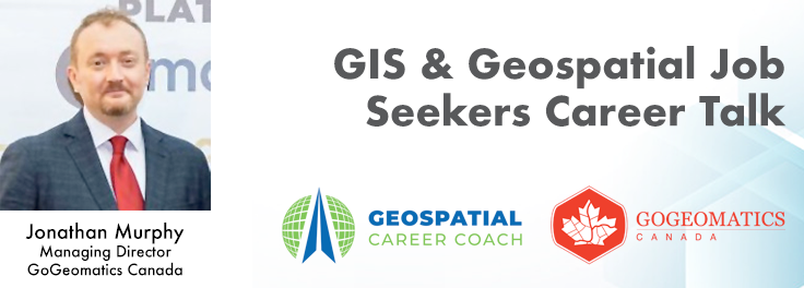
This talk focused on those seeking work in GIS, cartography, remote sensing, programming, and other related geospatial fields. Jonathan Murphy, Managing Director of GoGeomatics Canada and geospatial career coach, will be sharing his valued tips and insight for your job search. He is an expert geomatics professional with close to 20 years of experience. Jon’s career has ranged from the oil fields of Alberta to projects with the United Nations in Switzerland.
TULLOCH: Current Job & Co-op Opportunities
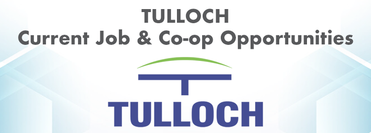
TULLOCH is a progressive multidisciplinary consulting firm that has delivered quality engineering and surveying services to municipalities, private land developers, and energy and mining companies across Canada for the last 30 years. TULLOCH provides integrated planning, surveying, environmental, and engineering services. As a multidisciplinary consulting firm, we understand how to combine services, how to work effectively with colleagues and partners, and how to find efficiencies in projects.
Opportunities at Challenger Geomatics Ltd.
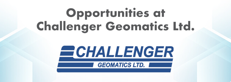
Discover who Challenger is and the technology we use, while exploring employment opportunities.
The Future of Careers in Survey & Technical Field Services
With the speed at which that technology is evolving and improving, the next decade will see an even greater onus on technological solutions that increase accuracy, limit risks in the field, and greatly improve efficiency. As a surveyor you will also be a technical specialist who understands how to utilize new equipment, technology, systems and software in the execution of your work. As an early adopter of new and emerging technology, LN is recognized as a leader in technical field expertise, and the use of innovative technologies and approaches to survey work and across multiple additional field service lines.
Join GeoBC’s Journey From Data to Decision Making – Plus 3 Tips You’ll Need for Your Next Job Application!
We offer clients a wide range of GIS services and products such as base mapping, imagery analysis, data science, data management, spatial analysis, programming/automation, project management, map making, web maps, and mobile app creation. On any given project your clients may be biologists, engineers, planners, First Nations relations staff, land and water authorizations staff, executives, Emergency Management responders and planners, and more. All of them need your help to leverage data, analysis, and visualization products to inform their decision making process.
Eagle Engineering & Consulting: Current Job & Co-op Opportunities
Eagle Engineering and Consulting is a dynamic company at the forefront of innovation, offering a comprehensive suite of services tailored to the telecommunications, GIS, and asset management sectors. Eagle EAC seamlessly integrates advanced technologies like reality capture and mobile mapping, empowering clients to optimize data capture, management, and analysis. Our collaborative approach, combined with cutting-edge tools and expertise, enables us to deliver forward-thinking solutions that drive informed decision-making and unlock the full potential of location-based information.
Geomatics Education
Discover the Department of Geomatics Engineering
The Schulich School of Engineering is a leader in engineering education and research innovation. We draw on our combined strengths in teaching and research to offer students rich and diverse learning experiences and create a dynamic research environment that encourages high-caliber research by world-class scholars.
Discover the Surveying & GeoSpatial Program at Lethbridge College
Explore the high school requirements to enter a nationally and internationally accredited program in surveying and geospatial technology. Learn about the courses, timeline and costs of a two-year diploma and transfer to a degree. An overview of college student supports will be presented. Become familiar with the technology used in the program and industry. Hear about the career options and industry demand for graduates.
The SAIT Connector: Using the Power of Tech & Interdisciplinary Learning
The SAIT Connector is an active learning space for all apprentices and students at SAIT. It acts as a drop-in space and learning hub where students and faculty from any SAIT program can learn to apply high-tech equipment like drones, XR, 3D scanners, high-grade sensors, cameras and any other specialized equipment you may be interested in to solve problems and challenges. Thanks to industry partners, our collection of aerial and terrestrial data capture hardware along with advanced software platforms has greatly expanded over the past 12 months – all in-house and ready to use!
Discover the Department of Earth & Environmental Sciences at Mount Royal University
Environmental Science integrates our understanding of chemical, physical and biological processes to study natural and anthropogenic influenced environments, and provides solutions to environmental problems deemed significant to society. Discover the origin of mountain ranges, the evolution of life and climates through time, the formation of gems and ores, ocean floor volcanos, the assembly of continents, and the meaning of rock strata with a Bachelor Degree in Geology. The General Science major allows you the flexibility to choose the science courses that meet your specific needs and interests.
Discover the Geomatics Engineering Technology Diploma Program
Geodesy and geomatics engineers map the ocean floor, create 3D models and develop and test navigation systems to better understand the Earth. Our program features hands-on learning opportunities in geomatics and surveying.
Discover the Centre of Geographic Sciences (COGS) Programs
The Centre of Geographic Sciences (COGS), one of two locations that make up our Annapolis Valley Campus, is Canada’s largest geomatics-focused learning environment. COGS programs prepare you to start or continue your career in the global geomatics sector. At COGS, you’ll meet students from around the world learning about surveying and mapping land and the ocean floor.
Discover the Geomatics Engineering Technology Diploma Program
The Geomatics Engineering Technology program will provide you with extensive practical skills combined with a broad theoretical background to acquire tools and techniques used in land surveying, remote sensing, cartography, geographic information systems (GIS), global navigation satellite systems (GPS), photogrammetry, geography, and digital mapping.
Geomatics for Climate Resiliency
Measuring Pandora: Can Modern Geospatial Tools & Techniques Keep Up with Our Changing Planet?
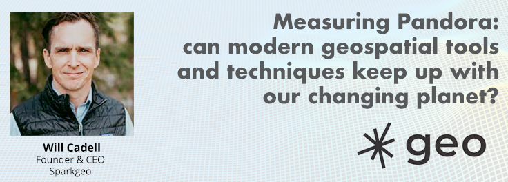
Is change the new normal? Every year seems to be the next warmest year. Those of us looking back at our planet from space are seeing these changes across our planet in near real-time through the eyes of satellites. But behind those pixels are real human stories of catastrophe and suffering. So, with all our constellations of satellites, massive computing power and new generative AI algorithms, can we do anything more than simply report what happened? What does the future hold for geospatial technology, and can our technology catch up with the rate of our changing planet?
A Geomatics Approach to Forest Fire Danger Forecasting in Canadian Context
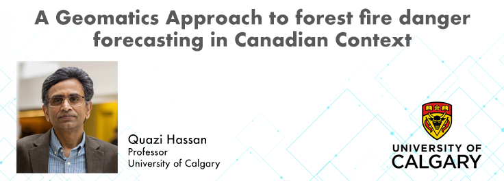
At the Earth Observation for the Environment Laboratory in The University of Calgary, we have been conducting research in developing remote sensing-based forecasting system for forest fire danger conditions since 2009. In the scope of this presentation, the chronology of such developments at daily, 4-day, and 8-day time scales will be discussed. We believe that these would be critical for managing forest fire regimes in Canada and elsewhere in the world.
Building a Geospatial Sensor Web for Mitigating Global Climate Change
Addressing the escalating levels of methane in the Earth’s atmosphere is among the most urgent issues humanity faces. One of the most impactful methods for mitigating methane emissions involves the prompt detection and repair of methane leaks. Achieving effective and efficient leak detection requires a geospatial sensor web approach. This approach entails combining the multi-scale and multi-modal methane observations from disparate sensing systems into a unified system of systems.
LiDAR for Post Wildfire Mapping Applications
Canada has just experienced a record wildfire season with devastating impacts. Public safety and damage mitigation is a priority for all impacted by these disasters. From mapping vegetation, analyzing slope stability, planning fire breaks, qualitfiying wood debris and fuel loads, how does LiDAR play a role in meeting post wildfire needs?


Be the first to comment