The Story of COGS
Editors note: Dr Maher is writing “The Story of COGS,” and through articles in the GoGeomatics Canada magazine, like the one below, he is sharing his experience and ongoing work on the book. This article is about that project.
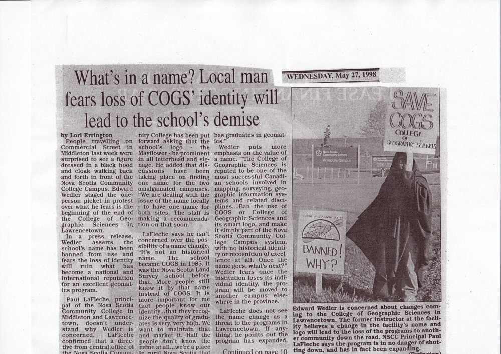
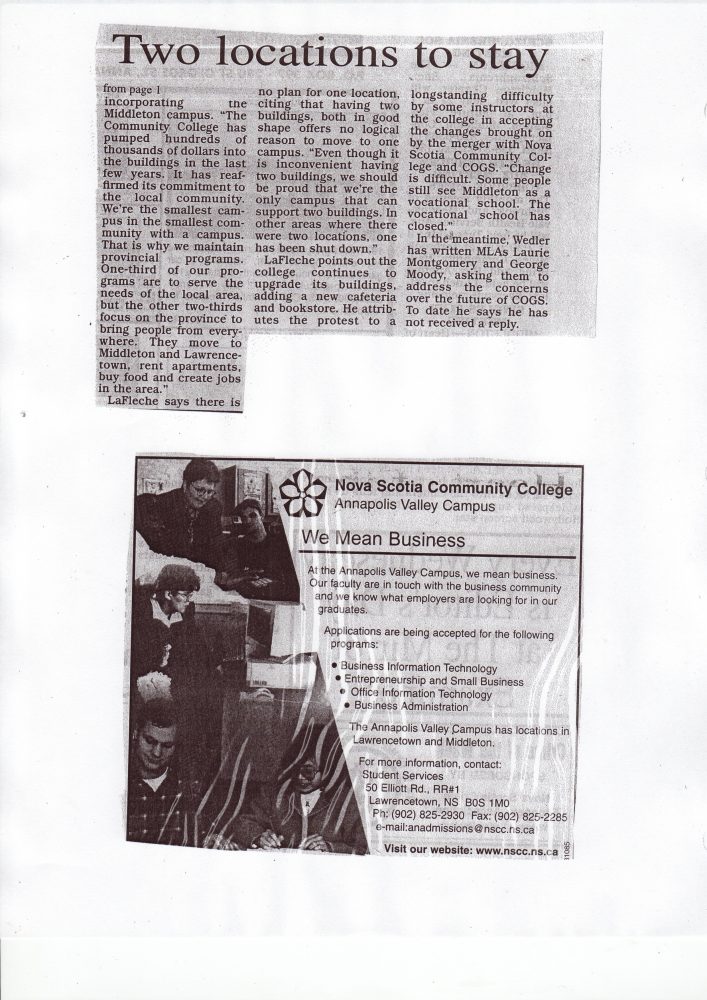
The ‘Story of COGS’ refers to the story behind the creation of the College of Geographic Sciences (COGS). What preceded COGS, in this case, it was the Nova Scotia Land Survey Institute (NSLSI). What happened afterwards, COGS was incorporated into the Nova Scotia Community College (NSCC) and the acronym was redefined as the Centre of Geographic Sciences. COGS, as the College, existed between 1986 and 1994, although there was still debate about the name change as late as 1998 (see The Mirror May 27,1998).
Research into an institution can take many forms: library searches, interviews, contact with alumni, photographs. This ends as a text or today, it can include a number of electronic forms.
From the library research, with the help of Trish Leblanc at COGS, the author discovered newspaper clippings collected by Donna Eisner for the period 1963 – 1998. For example, in 1981 the NSLSI administration requested an article from the instructors for each program. These nine articles give us a benchmark of technical education in surveying and mapping. James Doig, Principal also provided a retrospective: ‘thirty one years span expansion and progress in Lawrencetown’.
A long-term goal would be to create an online scrapbook of Donna Eisner’s collection. Meanwhile, Debby Hebb has put together similar collection of materials for the Applied Geomatics Research Group from 2000-2013.


Before Christmas, Bob Maher and Heather Stewart taped interviews with James Doig, John Wian, Phil Milo, Mike Donnelly, Dave Raymond, David Woolnough and David Colville. This has helped us identify the main themes and has allowed us to put together a draft Table of Contents:
- Chapter 1 The Early Years
- Chapter 2 From NSLSI to COGS
- Chapter 3 The COGS era
- Chapter 4 The NSCC era
- Chapter 5 Reflections
This draft will need to be supplemented by a geographic analysis of graduates, photographs, web links and appendices.
To engage COGS alumni is proving to be the largest challenge. While we have class lists, we do not have a convenient mechanism to reach out to all previous graduates. As an experiment, I am including a list of the first thirty six graduates from the GIS program between 1985-87. (see below). If you know anyone on the list, please ask the individual to forward their email address to me or forward my email address at maher.rv@gmail.com
Early GIS graduates from COGS (36).
| John Allen | Chris Borowiecki | Chris Bowers |
| Colleen Brothers | Pat Castel | David Colville |
| Nicki Daamen | John Doucette | Micky Feldman |
| Jim Feldmate | Gary Gill | Kirk Haines |
| Keith Hamer | David Hildebrand | John Houweling |
| Harold Hunt | Julie Hutchings | David Johnson |
| Barry Lonergan | Paul MacDonald | M. MacKay |
| David MacLean | Ron MacLeod | Gwen MacNairn |
| Don McGorman | Tat Ma | Eric Melanson |
| Grant Mitchell | Roger Mosher | Daniel Munroe |
| Karen Reinhardt | Dave Roscoe | Sidey Timmins |
| Anne Trudell | Alan Violette | Craig Zeller |
Next Steps
For each research component there is a logical next step:
a) after the first draft of the text is available, send it out for internal review (May 2013);
b) initiate online scrapbook of newspaper articles (working with Trish Leblanc and Ted MacKinnon) (April 2013);
c) develop a web application which allows alumni to self-identify and contribute to the story of COGS (no date);
d) conduct further interviews with instructors, especially those with memories of the 1986-1994 COGS era. (March 2013).
For more details, check www.thestoryofCOGS.ca or contact the author.


Wow. I was there in the last year of it being the College! Thank goodness they at least kept the acronym. And I have my mug with the logo 🙂