

So much has happened with Geospatial Niagara since my last post, seven months ago. In this post, I’ll go over where we came from, where we are today, and what we have planned for the future.
History of Geospatial Niagara
Back in January 2013, I pulled together a roundtable discussion with representatives from academia, government, and education to highlight what I thought was an incredible opportunity to capitalize on the assets we have in Niagara with respect to geographic/geospatial education. At the close of that meeting I resolved, come hell or high water, to create, grow, build, and attract a geospatial economic sector in Niagara. We have all the pieces; the puzzle just needs to be put together.
During Geography Awareness Week 2013, we conducted our first GIS Day school visit, talking with a Grade 5 class about the importance of geography and acquainting them with the Niagara region’s 12 municipalities. 2014 began with more school visits, and the Geospatial Niagara Geographic Education Town Hall Meeting in May. On June 18, 2014, Geospatial Niagara officially became a not-for-profit.
Day of Geography
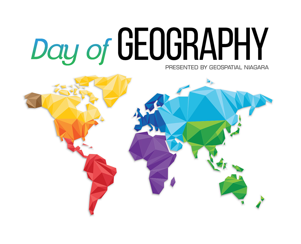
“Day of Geography” took place November 17, 2014. It was an incredible day. We visited Sir Winston Churchill Secondary School in St. Catharines to promote geographic education and talk geospatial tech careers with students from Grades 9-12. Joining us from the Brock Geography Department was Dr. Kevin Turner and Colleen Beard from the Map, Data & GIS Library, and Janet Finlay, coordinator of the GIS/Geospatial Management program at Niagara College. We also had Jean Tong from Esri joining us, and two student representatives of the Brock University Geographical Society. It was an amazing experience to see stories come in both locally and from around the world from geographers sharing their days, their experiences, and their careers in what it means to be a geographer/geospatial professional.
Day of Geography 2015 happens on Monday, November 16, 2015. For more information you can email me at [email protected]. The more geospatial professionals that participate, the more examples there will be of potential careers for students to investigate.
Current Projects
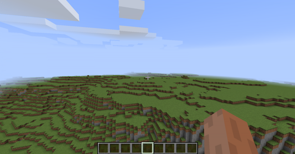 Teaser image of the Niagara Minecraft project
Geospatial Niagara has a number of other projects on the go, two through Brock University Geography 4th Year Honours Internship Program and three through the Niagara College GIS/Geospatial Management Program. Current internship projects include:
- GN/Niagara College Applied Thesis Spatial Database project (Matt Marotta)
- Geospatial Niagara-Geospatial Industries Survey (John Bull and Kayleen Hogan)
- Niagara Aspiring Geoparks Project (Marcio Cruz, Jessica Serravalle, and Eric Tincombe)
- Topographic Analysis of Grey County for Winegrape Production (Michael Daleo)
- Geospatial Niagara – Niagara Minecraft Project (Bogdan Oros and Adriana Ruiz)
For more information about specific projects please feel free to contact me at [email protected].
This year, Geospatial Niagara is also moving forward on the treeOcode Niagara project. This is a project to crowdsource data about the urban forests of Niagara’s 12 municipalities. The benefits are far-reaching: environmental, educational, and economic, as well as the social benefit of citizen engagement and active participation. The data collected will be offered as Open Data for use in any number of applications and research. Spring cannot come soon enough for us to get out there collecting tree data. More on this project to come!
The second project is the Active Transportation Near-Hit Reporting application, currently called the “The Carlin Report”. This was recently showcased at the Niagara Active Transportation Summit on March 4-5 in St. Catharines. This web application was put together as an entry into the 2013 Node Knockout competition. The premise is to offer active transportation participants a means to record incidents of near-hits. These are incidents that might be shared among your closest friends, but is generally lost information. Unless a police  report is filed, no one knows. But the locations of near-hits are just as valuable as the actual incidents. As with treeOcode Niagara, data collected through The Carlin Report will be made available as Open Data.
Geospatial Niagara recently began to sit on an advisory committee for the Port Dalhousie Beautification and Works Committee. This community-driven group seeks to undertake a number of projects to beautify and promote their community; for example, streetscaping projects, or the building of community gardens. Geospatial Niagara will be assisting them with data collection, mapping and prioritization. We hope to undertake some participatory mapping exercises with local students and citizens and help them find ways to implement their visions for their communities. This speaks to our mission to promote geo-literacy and community participation through geography.
Going Forward
At the end of May, we will have a booth at the Niagara Folk Arts Days in the Park to promote our mission and engage citizens of St. Catharines and Niagara about how geography impacts them every day.
The Niagara College GIS/Geospatial Management program runs until June, and wraps up with the final thesis presentations on the 9th and 10th. These presentations are open to the public and I encourage anyone to come and attend. We look forward to the culmination of these projects and moving them forward to implementation in the community.
We are actively seeking a permanent physical location. Somewhere that will be a hub of community activity revolving around geo-education from K to grey. We’re striving to offer on-site educational programs, events, and workshops and seeking ways for community groups to harness the benefits of geospatial technology and information.
If you have any questions about Geospatial Niagara, or would like to volunteer, please feel free to contact me at [email protected]. I’m always looking for unique insights. I am confident the sector can take off in Niagara; there is plenty of opportunity, and abundant community assets. I believe that an organization such as ours, promoting geographic education and active community participation, should be in every community or region across Canada and I’m more than happy to exchange thoughts and ideas about that.


Be the first to comment