
FDNY geospatial mapping used to reach opioid overdose cases
Nurses and nursing students are using local, real-time maps of opioid overdoses to guide their work in community health settings. The Fire Department of New York (FDNY) and emergency services generate geospatial data which enable them to track geographic trends of street-level drug use, and this data is now shared with NYU Meyers researchers to develop an educational program for nurse practitioners. The project is part of a national effort to improve collaboration between traditional and non traditional health care providers. Says Donna Hallas, a clinical professor and director at NYU Meyers: “The importance of local GIS maps is that this information is available in real time so that interventions can be designed, evaluated, and changed quickly to meet the immediate needs of the community.”
Architecture firms explore BIM

“By Design: The Next Frontier” is a series that follows three architecture firms exploring how BIM-rooted design process can be used to collaborate with structural engineers, contractors, and owners. The result? Their approach to communication, design, and collaboration changed workflow for the better: 3D modeling, photorealism, VR and AR supported in ARCHICAD improved conversations with clients, improved efficiency, and helped the firms to leverage technology for their customers. Contractors responded positively to the increased clarity, and stakeholders wanted the increased accuracy of the data sets. The right combination of innovation and technology are pushing architecture firms into the next level of business efficiency.
GWF introduces first workshop on digital underground mapping
“Underground mapping for resilient infrastructure: Datafication of the Underground” was a Geospatial World Forum workshop organized by Rob van de Velde and Paul Janssen of Geonovum. The goal of the workshop was to discuss the challenges related to underground geotechnics and infrastructure, urban habitation, and optimizing use of the earth’s resources. Unreliable information about underground geotechnics cost world economies billions of dollars every year, and standards on data are desperately needed to combat mismanagement of data. Combining commercial, academic, and government perspectives on subsurface data requirements, the workshop explored the impact of unknown subsurface infrastructure, the disasters that can result from this lack of knowledge, and shared knowledge of what lies beneath the ground.
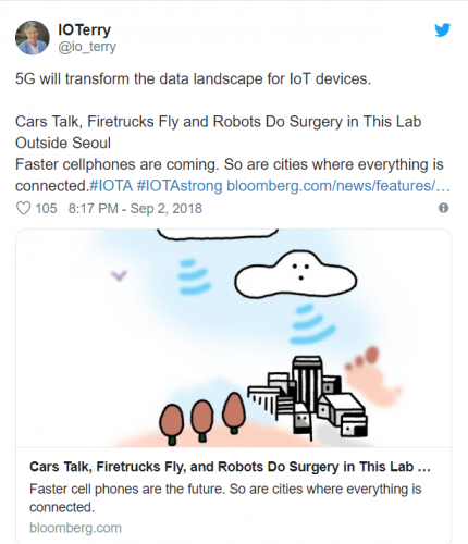
5G and Blockchain combine to make change
5G is set to massively expand connectivity and be a part of growing innovation. It will give more people to access developments related to blockchain, allowing implementations to run smoothly within a secure environment. 5G and blockchain technologies intersect at the micro-data level enabled through the Internet of Things, and 5G will provide a vastly superior bandwidth that will allow for a rich flow of micro-data. Both technologies are necessary to smart cities and driverless cars, and with 500 billion IoT devices predicted to be connected to 5G by 2030, 5G and blockchain will bring us technological disruption we haven’t yet imagined.
OGC seeks info on Earth Observation Big Data Architecture
The Open Geospatial Consortium (OGC) and The European Space Agency are requesting industry feedback on the pilot Earth Observation Big Data Architecture and a planned Earth Observation Big Data Analytics Market Enablement Initiative. The OGC has over the past two years developed a software architecture that allows deploying and executing applications close to the physical location of big data, including Earth Observation data and model outputs. This architecture features a set of specifications to standardize the data-analysis life cycle and is now ready for real world testing. Organizations are invited to provide feedback and describe their possible contributions, data sets, service offerings, platforms and standards to allow the pilot organizers to include all aspects in the planning phase.


Be the first to comment