Analytics
Big data and trends in data analytics for utilities
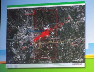
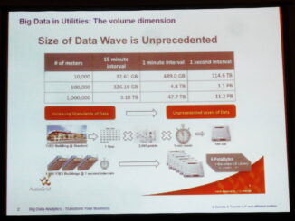
I had the opportunity to catch up on current trends in analytics in the utility indusrty at the Data Analytics for Utilities conference in Toronto today. Jane Allen and Tom Peters from Deloitte gave a […]