 The 42nd Annual Conference of the Canadian Cartographic Association was held, May 31st thru June 2nd, at Carleton University. Inspired by the 150th birthday of Canada, the guiding theme of this year’s conference was “150 Years of Cartography: Past, Present and Future”.
The venue for the conference was the Richcraft Hall, formerly known as the River Building at Carleton University. The Hall, with its signature open space and beautiful patio overlooking the Rideau River, formed an excellent venue for a well-attended conference with students, researchers, educators, and professionals from different levels of government and the private sector participating.

A highlight of the conference was the variety of events held each day. Each successfully bonded the conference together into one congruent whole, while providing ample opportunities to network. The conference kicked off with a guided tour of the Canadian Museum of History, followed by a trivia Icebreaker event on Wednesday evening, and a Wine and Cheese reception on Thursday evening.

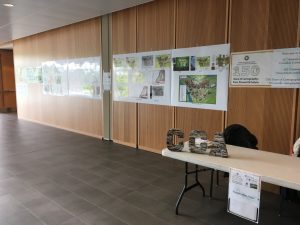
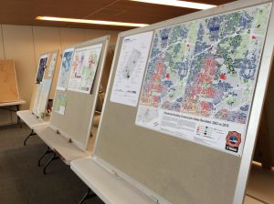
There was a map display and poster contest throughout the conference, for which the final results were announced during the Annual General Meeting on Friday afternoon. The conference closed with an orienteering contest on the Carleton University Campus, followed by drinks and dinner at the Barley Mow pub.
With about 30 presentations in total, the participants were particularly able to immerse themselves in their much-loved interest of maps.
The conference sessions began Thursday morning with an insightful talk, by keynote speaker Ian Crain from the Orbis Institute, on the Canadian Geographic Information System (CGIS) and the amazing story of rescue and recovery of the entire CGIS databank. The morning continued with an introduction to the sequence and series of topographic mappings that laid the foundations for the thorough mapping of Canada, and then how historic topographic maps and historical spatial data have been made available for research as well as public use. The morning ended with a deep-dive into the techniques that enabled historians a clearer visualization of the battle for Vimy Ridge.

The afternoon focused on discussions of current map applications and techniques. Keynote speaker Chris Brackley from As the Crow Flies cARTography, demonstrated how the design of maps can enable map-readers to interpret the sometime abstract concept of maps. Additional presentations addressed some current techniques, research results and challenges regarding how maps are deployed to explain crucial information to those needing to know. NRCan also provided an overview of their geospatial offerings and shared some future plans.
On Friday, a prognosis was given on the future of mapping. The keynote presentation by Fraser Taylor from Carleton University challenged the audience to reflect on the need for cartographers to take control of their future destiny and not allow technology to drive their response.
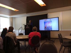
A quick snapshot of the afternoon presentations indicated a promising and abundant diversity of possibilities for the future, supported by an active and dynamic community of cartographers: i.e. Structure in Motion technology, the current approaches that employ Deep Learning Neural Networks, testing route-finding efficacy, mapping spatial patterns of urban travel with open source tools, a new method for line simplification, investigations concerning impact of restaurant proximity on public health, and the potential as well as limitations of cartographic applications that are dedicated to the representation of stories and its use for mapping life stories of refugees. The day concluded with a technical session on the Web Mercator Projection and Raster Tile Maps.
In 2018, the CCA conference will be held at Lawrencetown, Nova Scotia at the Centre of Geographic Science (COGS), May 30-June 2.
For those who could not make it this year, here you can find a detailed overview of all topics and presenters of the 42nd annual CCA conference.
If you want to join the Canadian Cartography Association you can do so by following this link to the website.


Be the first to comment