
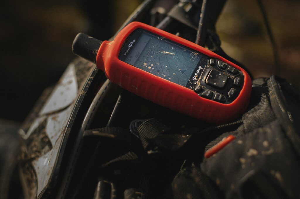
Atomic clocks have become central to the Global Navigation Satellite System (GNSS) and GPS because they are highly developed quantum sensors that enable precise timing and positioning.
Defense timing today depends on GPS signal distribution, which aligns local clocks and keeps them synchronized between GPS updates. The challenge arises when GPS signals are lost. Situations where receivers cannot access or trust satellite signals.
This happens in subterranean environments such as tunnels and mines, indoor facilities like reinforced bunkers, and underwater operations where signals cannot penetrate. These cases highlight the need for resilient alternatives.
Is Quantum (optical) clocks Tactical-grade clocks?
Quantum clocks are the newest generation of atomic clocks. Instead of using microwave transitions (like in GPS cesium or rubidium clocks), they use optical transitions which is much higher frequencies of light. Because of this, they are far more precise: their timing error can be less than 1 nanosecond per day. that’s extremely small. A billionth of a second! However, they are still experimental and not yet ready for field (tactical) use.
A tactical-grade clock isn’t just about precision. For military deployment, it also needs to be:
- Enhanced precision: good enough to hold accurate time even when GPS is denied.
- Reliable: must keep working consistently, without drifting or failing.
- Durable: long lifespan, able to maintain performance over years.
- Rugged: survive harsh environments (shock, vibration, temperature swings, battlefield conditions).
So, even if a quantum clock is ultra-precise in the lab, unless it has these attributes, it’s not “tactical grade.”
Where Innovation Fits
The Department of National Defence (DND) / Canadian Armed Forces (CAF) have together introduced a challenge where innovators can propose solutions at all stages via the IDEaS program. The goal is to fund the development of tactical-grade clocks that can provide precise Positioning, Navigation, and Timing (PNT) in environments where GPS is unavailable or degraded (e.g. due to obstruction, jamming, or “northern/extreme” environmental conditions).
This effort also connects to Canada’s recent historic commitment to invest 5% of GDP in defence and infrastructure, which includes funding for advanced technologies to strengthen resilience in critical systems like PNT.
Funding will be available depending on the solution’s technology for different phases. More details about funding here.
Deadline for proposals is October 22, 2025, at 2:00 PM ET.
Innovative solutions for tactical-grade clocks capable of sustaining microsecond (μs) precision over 24 hours, thereby reducing reliance on GPS-based timing for critical defence operations.
In addition to some essential requirements that you can find here, proposed solutions should ideally meet desired capabilities and considerations. Check them out here.
GNSS Challenges in Canada’s North
Canada’s Arctic and northern territories show clearly why resilient timing and navigation are essential. GPS signals already struggle in extreme northern latitudes, where satellite coverage is weaker and less reliable. This is exactly where Canada needs it most for defence and sovereignty.
Russia’s GLONASS system has an edge in the Arctic because its satellites are designed to cover high latitudes more effectively. As Russia increases its presence in the region and the Northwest Passage becomes a geopolitical flashpoint, Canada must ensure its own forces can operate with reliable positioning and timing.
The Department of National Defence is already developing non-GPS-based systems to meet these challenges. Tactical-grade clocks are part of that effort — reducing reliance on foreign systems and ensuring Canadian operations in the North can continue even when satellite signals are disrupted.
RELEVANT READ: Navigating the Future: Why Canada Needs a Sovereign GNSS


Be the first to comment