
Between the Poles – The Geoff Zeiss Archives
AutoCAD Map 3D Update 1 Released
AutoCAD Map 3D 2010 Update 1 has been released.

AutoCAD Map 3D 2010 Update 1 has been released.

Autodesk has announced SketchBook Mobile, an app for the Apple iPhone and iPod Touch. SketchBook Mobile is a professional-level paint and drawing application designed for illustrators and artists. It will be available on the iPhone […]
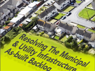
Imaginit is sponsoring an event, in Toronto, Vancouver, and Halifax at the end of September and beginning of October, dedicated to one of most widespread issues affecting the reliability of infrastructure data. Mike Schlosser will be talking […]

I blogged earlier about the series of articles by Terry Bennett that talks about sustainability from a civil engineering perspective and assesses the impact of building information modeling (BIM). In the second part of his series […]

I blogged earlier about Vancouver’s committment to open data, open standards, and open source. The City is committed to freely sharing its data in accessible formats and has just opened their Open Data Catalogue Beta, Vancouver’s data.gov, […]

I’ve blogged about open spatial data several times in the past and about the contribution of spatial data to the national economy. In June of this year the UK Prime Minister Gordon Brown announced that […]
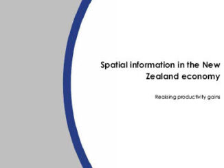
Sometime ago I blogged about studies in the UK and Australia that attempted to estimate the value of spatial data to national economies. At the end of August a study was released by Land Information New […]

The California assembly passed bills on the last day of the legislative session to increase the current 20% by 2010 Renewables Portfolio Standard (RPS) to 33% by 2020. But it is reported that Governor Schwarzenegger plans to […]