AutoCAD Releases for Past 25+ Years
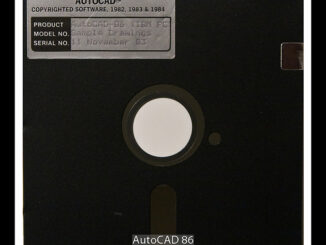
I wasn’t aware of this site maintained by Shaan Hurley listing every release of AutoCAD and DWG starting with V1 in 1982. Shaan has pictures related to many of the releases. This is a […]
There is a fascinating news item on NPR radio about stimulus money going to virtual shovel-ready projects which is really worth listening to. Gaming Technology One of the things I like to mention when I’m […]
One of the things that strikes many visitors from Europe is the concrete and asphalt wasteland of many North American cities, which were built primarily with commerce in mind. Robert Moses of the Triborough Bridge […]
At Where 2.0 Google annouced the Google Maps Data API which alows you to upload spatial data to Google. The Maps Data API means your application can view, store and update map data on Google […]
Data.gov is the Executive Branch data portal. It provides access to machine readable raw data sets and to applications including spatial. There are 47 raw datasets and 27 applications available now, but you’re encouraged to […]
An initial set of 16 National Institute of Standards and Technology (NIST) interoperability standards for the smart-grid have been announced by the Department of Energy and Department of Commerce, which is responsible for NIST. The standards […]
The Department of Energy has announced that it will raise the cap on grants for the development of smart-grid projects to $200 million from $20 million. The Recovery bill (ARRA) included $4.5 billion for smart-grid […]
At the Seoul C40 Large Cities Climate Summit 2009, Autodesk announced it is partnering with the Clinton Climate Initiative (CCI) to provide visualization technology for Project Two Degrees. Project Two Degrees is an Internet-based application […]