Between the Poles – The Geoff Zeiss Archives
Extensive use of geospatial open source software by the National Geospatial Intelligence Agency
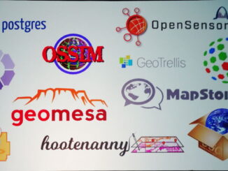
The National Geospatial-Intelligence Agency (NGA) is a U.S. Government intelligence agency and Department of Defence combat support agency. But it also provides support for disaster relief and humanitarian aid. At FOSS4GNA today in St. Louis […]