Technology
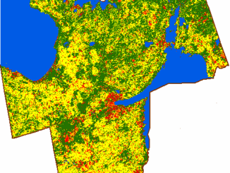
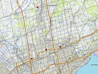
Using GIS to Track Land Use Change in York Region – Urban Growth Centres
Our last article examined the use of GIS technology to track land use change in four Toronto districts. Each district represented an urban growth centre designated by the Places to Grow Act. Continuing from our last discussion, […]