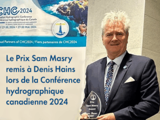
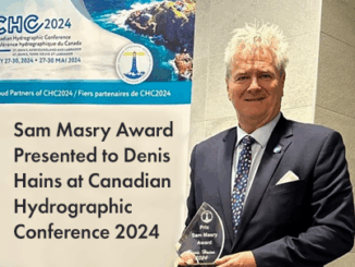
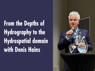
Kruti Mehta

Kruti Mehta

Kruti is a geospatial professional and passionate Ph.D. scholar at the University of Ottawa. She is working on quantifying urban perception using deep learning. Her current research is focused on perceptual walkability using Big Data and Artificial Intelligence (AI). She is working as a Geomatics Officer co-op at Fisheries and Oceans Canada, where she is working towards detection of undersea features. She is from mathematical background and her research area includes Geospatial data analysis, Hydrography, Remote Sensing, Urban planning, Geomatics, GIS, and Machine learning. She has worked as a teaching assistant for GIS courses at the university of Ottawa. She has also worked as a geospatial analyst at Space Applications Centre, ISRO and developed an operational technique to generating classified sea ice images. Kruti is currently looking for new opportunities to bring her passion and enthusiasm to geospatial community.
|||
Technology

Walkability and Deep learning

Walkability is about how friendly the neighbourhood is to walk. Walkability holds many advantages in terms of environment, health, and economy. Walking was the primary mode of transportation spanning human civilization when cars were not […]