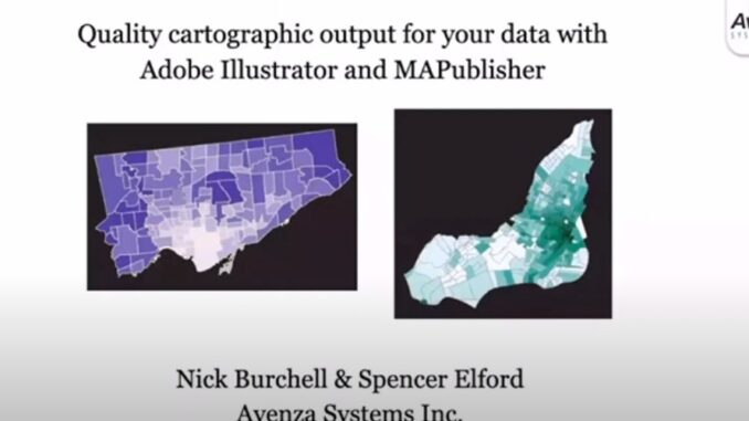
Adobe Illustrator is not a tool you’d associate with geospatial work, but Avenza is here to show you how to use this software for your cartographic needs! In this talk on Day Three of the GeoIgnite 2021 conference, Nick Burchell and Spencer Elford from Avenza Systems outline how GIS data can be imported, managed, and transformed on-the-fly all directly inside Illustrator while maintaining geospatial awareness and attribute information in conjunction with MAPublisher. Watch their conference presentation now:
A Tale of Two Cities – Quality cartographic output for your data with Adobe Illustrator and MAPublisher
Spencer has a MSc. in Geography from the University of Toronto, and a BSc Hon. in Earth Science from McMaster University. His background centers on spatial analysis, modelling and quantitative spatial statistics, providing him a deep appreciation for extracting insights and telling stories using geographic data and maps. Spencer is currently working with the Avenza Team to create technical articles, data visualizations, and marketing content for Avenza’s desktop and mobile products.
Nick has a Hon. BSc degree in Cartography and Geography from Oxford Brookes University. With significant experience in leading Quality Assurance and Services teams in geoscientific and cartographic software over the last two decades, Nick currently has the overall responsibility for strategy and management of QA and Customer Services for Avenza. He is also Product Manager for MAPublisher for Adobe Illustrator.
Watch more panels, keynotes, and talks from GeoIgnite 2021 on our YouTube channel.


Be the first to comment