
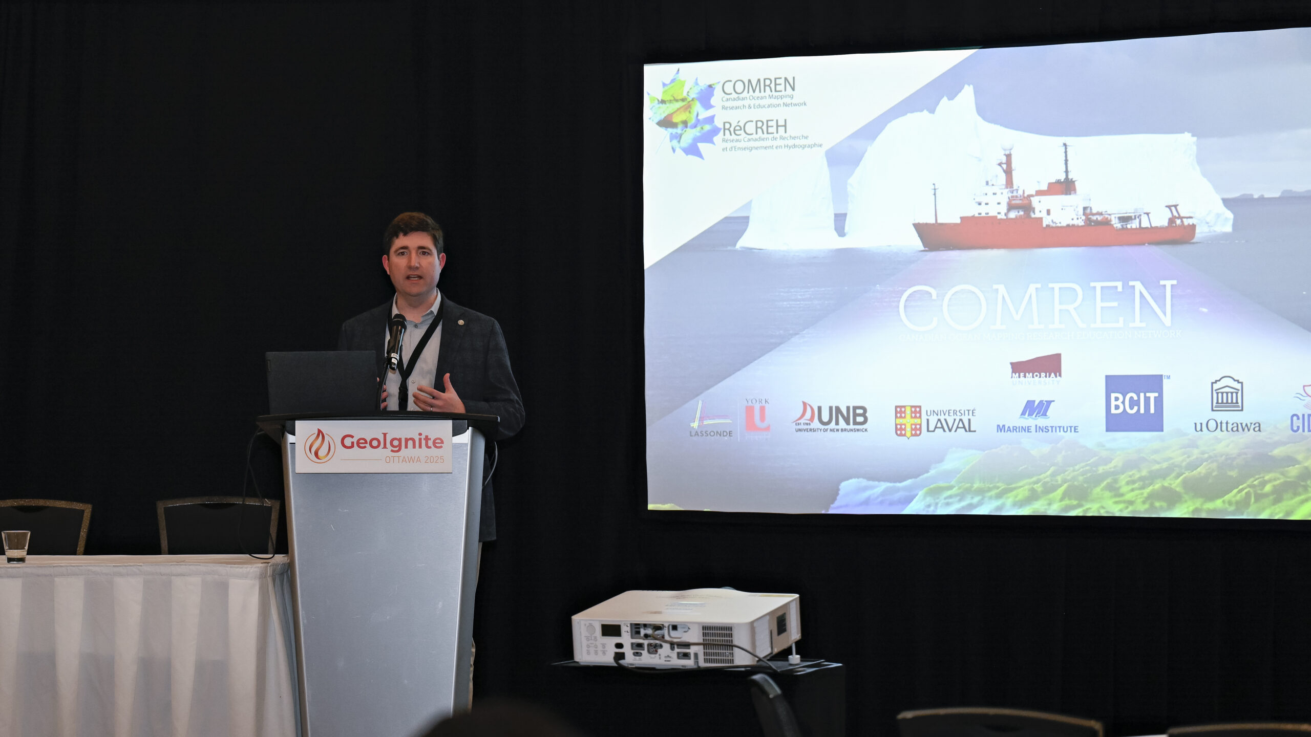
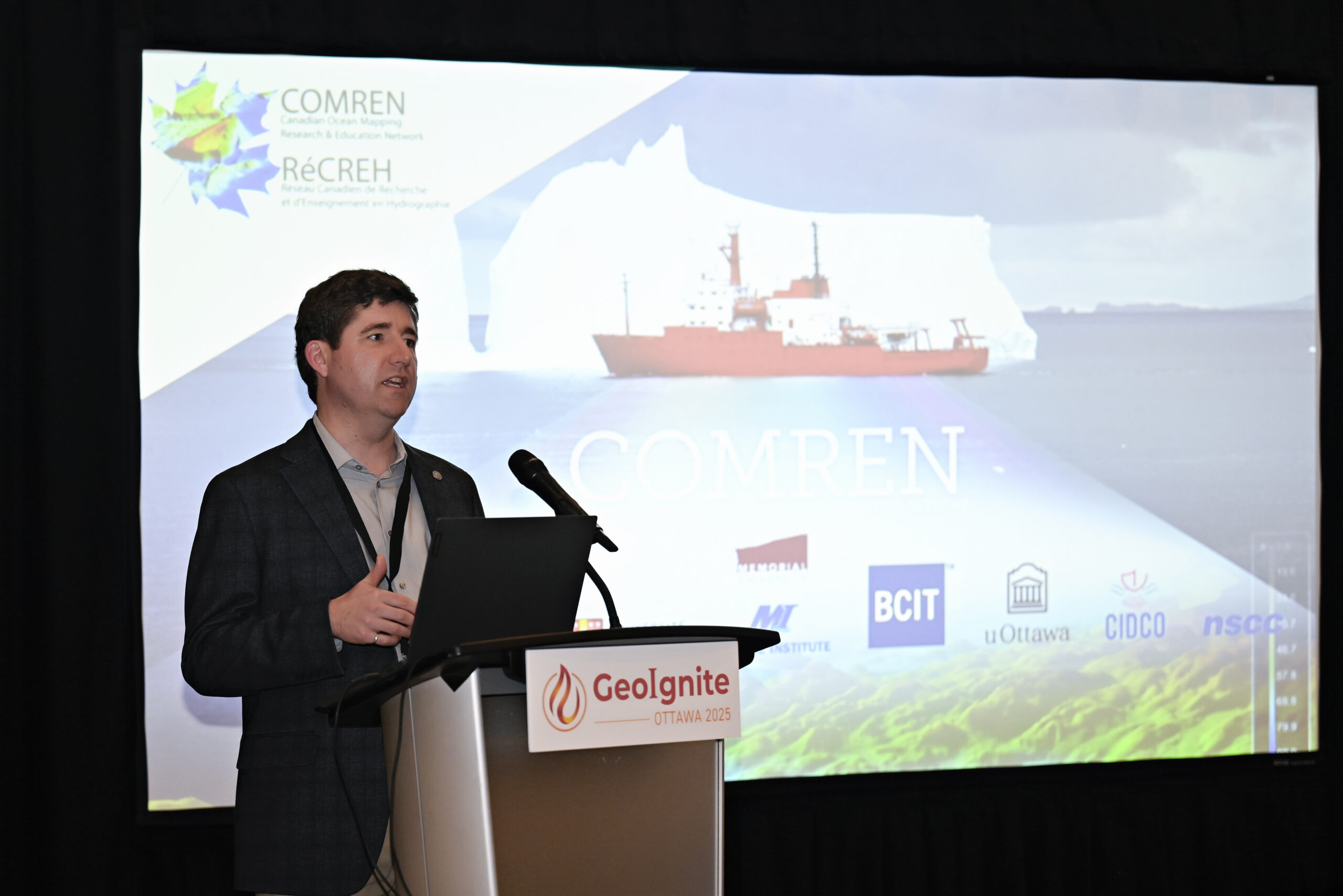
At GeoIgnite 2025, Dr. Ian Church, Associate Professor at the University of New Brunswick and Chair of the Canadian Ocean Mapping Research and Education Network (COMREN), delivered a keynote presentation highlighting COMREN’s mission and achievements.
In his session titled “The Canadian Ocean Mapping Research and Education Network (COMREN),” he mentioned: in a country bordered by three oceans and home to one of the world’s longest coastlines, the need for advanced ocean mapping is not just strategic, but it’s essential. Yet, for years, Canada’s ocean mapping efforts remained fragmented, scattered across small programs with limited reach. That all began to change with the creation of COMREN (the Canadian Ocean Mapping Research and Education Network) an inspiring example of how collaboration can turn scattered expertise into a powerful national force.
A Grassroots Movement for Ocean Innovation
Dr. Church mentioned that COMREN didn’t begin as a formal organization. In fact, it’s not a legal entity at all. Instead, it started as a simple idea shared over coffee at hydrographic conferences. “what if we stopped working in silos and started working together?”
That idea gained momentum when four founding institutions signed a memorandum of understanding in 2016, committing to collaborative research, shared educational programs, and the belief that Canada could and should be a global leader in ocean mapping.
Today, COMREN brings together over 14 academic institutions, federal government partners like the Canadian Hydrographic Service and Natural Resources Canada, and non-profit organizations like CIDCO. While each group maintains its own area of expertise, they share a common goal: to expand Canada’s capacity for innovative, applied, and accessible ocean mapping research and education.
From Network to Community of Practice
“One of the most remarkable aspects of COMREN is its evolution” he said. Initially formed as a loose network of contributors, the group has transformed into a community of practice, a more intentional structure that promotes active participation, co-learning, and long-term sustainability.
This strategic pivot was made possible in part through COMREN’s alignment with MEOPAR (Marine Environmental Observation, Prediction and Response Network), which now supports COMREN as one of its core Communities of Practice. This relationship has provided much-needed administrative support and funding, enabling COMREN to scale up its impact.
Education at the Core
COMREN’s most visible success has been in education and training. One flagship initiative is the Hydrographic Summer School, a short but intensive bilingual course that teaches fundamentals of ocean mapping using both in-person and remote instruction. Drawing on experts from across the network and support from industry leaders like R2Sonic, QPS, and Microsoft, the program offers students direct exposure to real-world tools and concepts.
Another signature initiative is the Speed Mapping Challenge, a hackathon-style event where students use open-source tools and open data to build nautical charts from scratch. These challenges not only sharpen technical skills but also spark interest in hydrography as a career path.
COMREN has also played a vital role in getting students to industry conferences, exposing them to the broader ocean mapping ecosystem and strengthening ties between academia and practice.
Tackling the Grand Challenges Together
Beyond education, COMREN continues to lead and support high-impact research projects. These include work on applied hydrography, S-100 data standards, remote operations, and open data sharing. The focus is not just academic; COMREN aims for real-world impact, developing tools, techniques, and knowledge that serve government, industry, and communities alike.
Looking ahead, COMREN plans to expand internship opportunities, support underrepresented groups, and deepen engagement with Indigenous partners. The vision is clear: build a network that is inclusive, responsive, and capable of pushing Canadian ocean mapping innovation onto the world stage.
Why It Matters
As Dr. Ian Church put it in a recent presentation, “COMREN is more than the sum of its parts.” In an age of climate urgency, economic transformation, and geopolitical shifts, Canada must be able to map, understand, and manage its marine environments more effectively than ever before.
COMREN offers a model for how to do that through trust, shared goals, and a commitment to building capacity not just for today’s challenges, but for tomorrow’s opportunities.


Be the first to comment