
There is a federal policy most people in the Canadian geospatial sector never read, but almost everyone works under.
Across the Government of Canada, departments rely on geospatial information to support planning, regulation, infrastructure, environmental monitoring, emergency response, and public services. The framework guiding how that information is managed and shared is the Treasury Board Secretariat’s Standard on Geospatial Data.
For years it has quietly structured how systems connect, how data moves between departments, and how external partners interact with federal programs.
The challenge is that the geospatial environment has changed.
When the standard was created, government systems were largely file based and departmental. Today the reality is cloud platforms, APIs, shared services, real time data streams, AI assisted analysis, and growing collaboration between federal, provincial, municipal, Indigenous, academic, and private sector organizations. The practice of geospatial has evolved, and policy is now catching up.
![]()
![]()
The OGC Canada Forum is convening a national discussion, in partnership with Natural Resources Canada, to explore how the Standard on Geospatial Data can be modernized while maintaining interoperability and supporting innovation.
This session is intended as an open conversation. Practitioners, governments, researchers, and industry participants are invited to bring operational experience and practical concerns. The objective is not only alignment with international standards, but a framework that works in day to day Canadian operations.
Why does this matter?
Because the standard influences procurement, data sharing agreements, interoperability requirements, and ultimately whether systems across jurisdictions can work together. It affects how industry connects into federal workflows and how new technologies can be adopted.
In many ways, this discussion is an early stage of a larger national conversation that will continue at Canada’s Naitonal Geospatial Conference GeoIgnite.
The Forum focuses on the policy layer. GeoIgnite focuses on how those policies become operational programs across infrastructure, Earth observation, defence, public safety, and digital government. Understanding one helps make sense of the other.
If you want to understand where Canadian geospatial policy is heading, this is a good place to start.
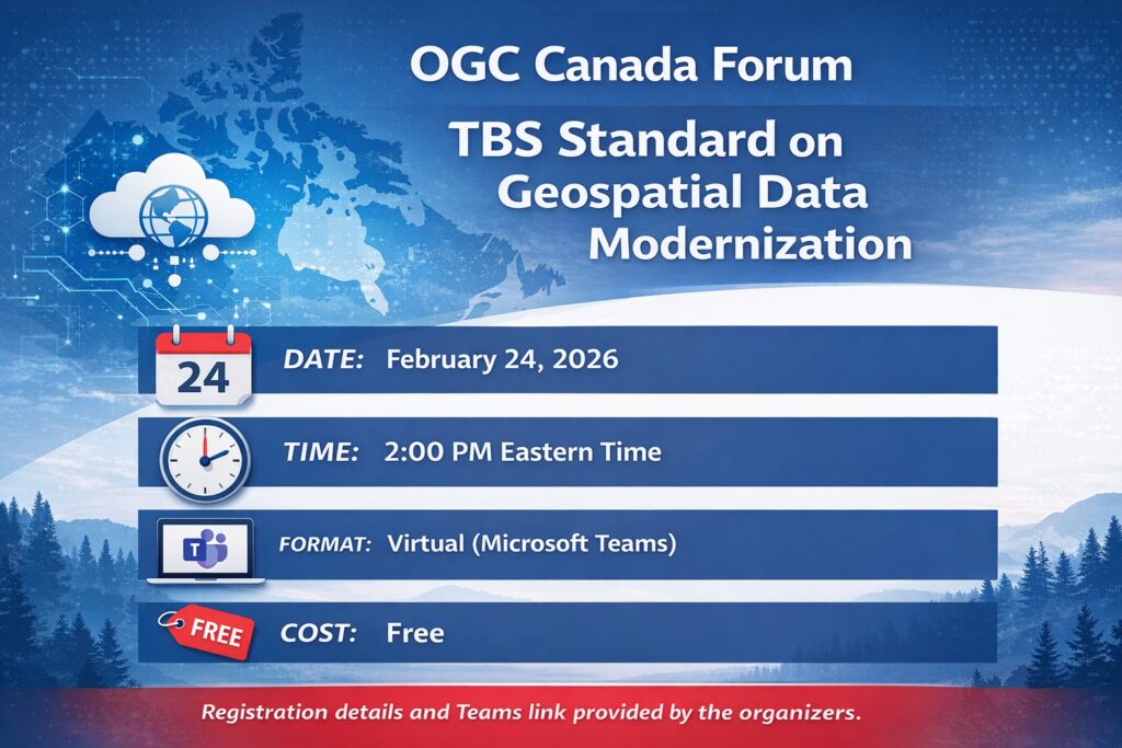
The OGC Canada Forum is hosting a national discussion on how the standard should evolve. To register visit the website
February 24, 2026
2:00 PM Eastern
Virtual session via Microsoft Teams
This conversation also provides context for GeoIgnite, where attention shifts from policy direction to operational systems and programs across Canada.


Be the first to comment