-
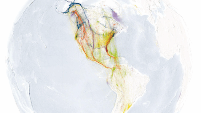
What an amazing way of showing bird migration
-
Hurricane Fiona’s tracker
-
P.E.I language diversity map
-
Air Canada’s handy route map
-
Northern B.C wetland conservation
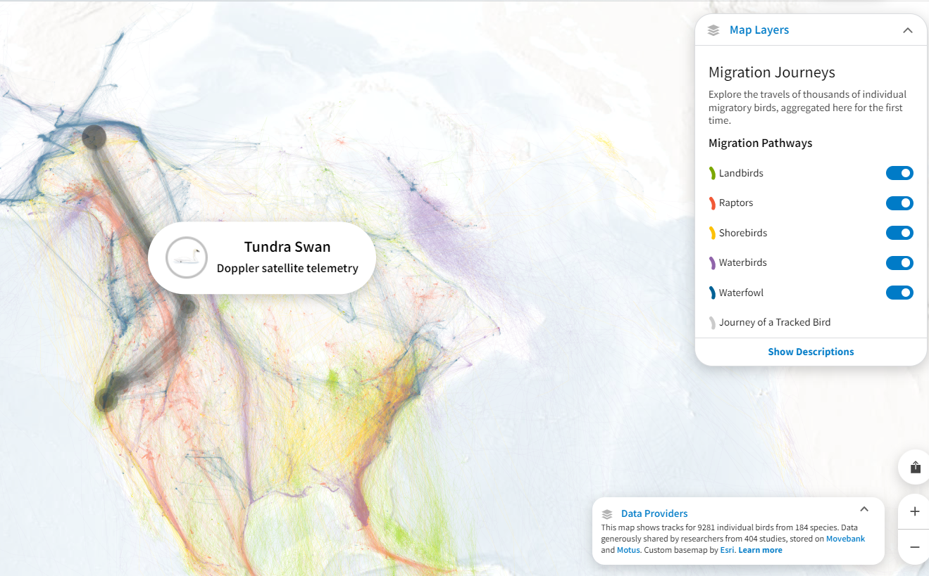
What an amazing way of showing bird migration

The Bird Migration Explorer is an interactive and animated new tool built by the National Audubon Society with the collaboration of bird data from various organizations including Bird Canada. Bird Canada has offered the integration of Motus tracking data, which has helped to create this new map’s stunning visualization. The map has captured 458 species of birds across the Americas and their conservation challenges through migration.
The bird migration explorer is a big step in understanding and conserving Canadian birds. This process can help reverse the declining population of birds around the Americas. Read More
Hurricane Fiona’s tracker

After causing havoc in the Dominican Republic and significant destruction in Puerto Rico, Hurricane Fiona is forecasted to be a historic storm that will hit Atlantic Canada and Eastern Quebec. The low-pressure system could bring extended heavy downpours and heavy wind conditions. All of P.E.I. will see a prolonged period of very strong winds from the north and these gusts will likely gust in excess of 150 to 160 km/h. Eastern Nova Scotia and Prince Edward Island could experience power outages and significant structural damages. Read More
P.E.I language diversity map

The color-coded diversity map of P.E.I has been created using statistic Canada data. The map shows the percentage of people using English or French as their mother tongue around the province. Dark red indicates English and French as their mother tongue and light blue to dark blue indicates more diverse regions. Read More
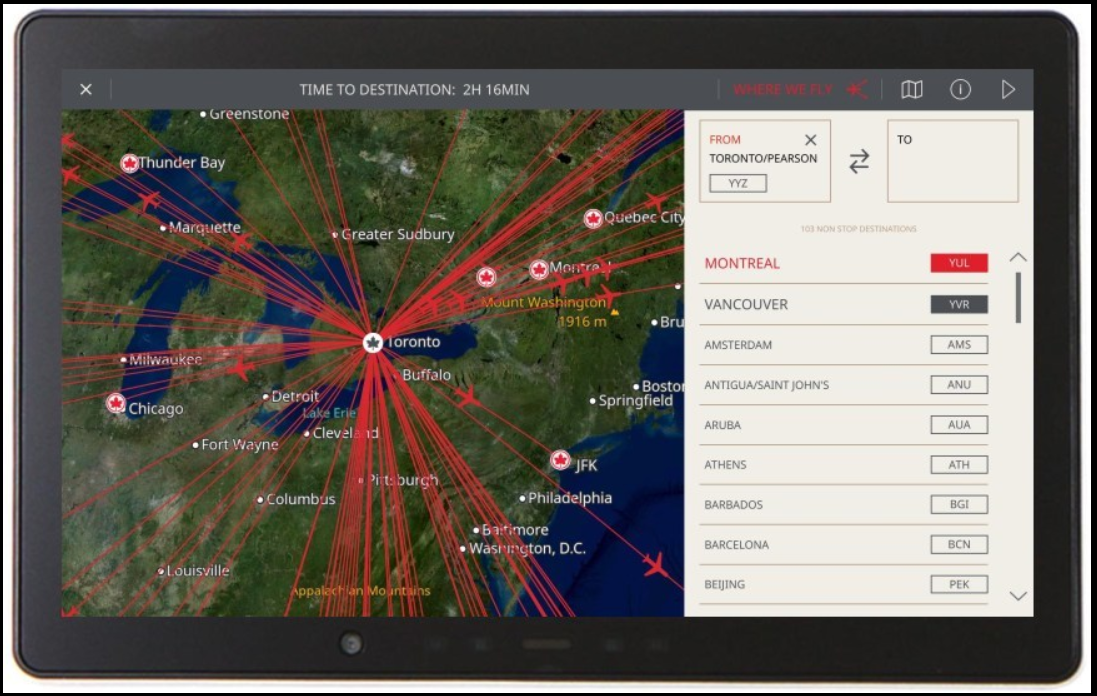
Air Canada’s handy route map

Next time you fly Air Canada, do not forget to check out this interesting route map ‘WhereWeFly’, which has been recently introduced on its Panasonic seatback IFE and Thales Wireless Portal. This map comes with a searchable directory that will help you plan your trip and check the flight routes out of Air Canada hubs. Read More
Northern B.C wetland conservation
In order to preserve the lush landscape, its biodiversity, and the ancestral territory of Kaska Dena in the northern B.C, DUC has partnered with the Dena Keyah Institute and Dane nan yé dah Kaska Land Guardians to map the wetlands. Dene K’éh Kusan holds 9.6 million acres (3.9 million hectares) of remote landscape that is abundant in wetlands and a variety of wildlife such as caribou, moose, and mountain goat. Due to the alarming climate change, it is crucial to prevent biodiversity loss and unsustainable development.

Using remote sensing technology the team has planned to map the wilderness and study the vegetation in that area. DUC’s wetland map along with the Earth Observatory dataset will help to design precise maps of marsh, fen, bog, swamp, and water. Read More

Be the first to comment