- New i4Geo Institute launched at University of Lethbridge
- Despite obstacles, Canada’s flood risk mapping is progressing
- 2024 Indigenous Mapping Conference in Regina
- Perth County launches its first interactive Map
- Mapping historical buildings in Halifax unveils the truth
New i4Geo Institute launched at University of Lethbridge
A new learning centre has opened at the University of Lethbridge. TECTERRA’s support has lead to the formation of i4Geo, the Institute for Geospatial Inquiry, Instruction, and Innovation, which will benefit geomatics-related professions.
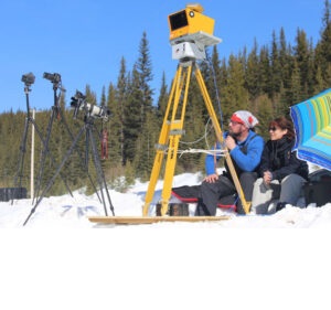
Geographical information science, geospatial positioning and imaging technologies, sensor networks, big data analytics, artificial intelligence, and 3D digital twins are the areas that, when combined under the i4Geo umbrella, which includes research, training, networking, business innovation, and community involvement, will solidify the University of Lethbridge’s position as a geospatial technology and application leader. Read full article here
Despite obstacles, Canada’s flood risk mapping is progressing
Accurately mapping flood risk across Canada is a huge endeavor that both the public and business sectors are contributing to. According to Natural Resources Canada, the maps are intended to assist in decision-making related to land use planning, flood prevention, climate change adaptation, resilience building, and ensuring the safety of people and property.
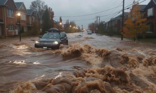
Effective flood risk assessment is severely compromised by lack of thorough flood mapping across Canada, according to Steven Sanders strategic account manager at ICEYE, a satellite company that supplies the insurance sector with Earth observation data and remote sensing capabilities. In order to more effectively price risks and, eventually, lower the cost of flood insurance in the future, access to more detailed and high-resolution data is essential. Read full article here.
2024 Indigenous Mapping Conference in Regina
The October, 2024 Indigenous Mapping Conference in Regina, provided scholars with direct access to the newest mapping tools and training. Google, NASA and Esri Canada were some of the partners who shared their information and capacities at the First Nations University of Canada. This is the 10th year for the Indigenous Mapping Workshop.
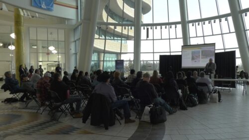
Introducing people to the diverse range of technologies available to Indigenous peoples and letting them choose what suits them best was the goal. Read full article here.
Perth County launches its first interactive Map
Perth County has released a new interactive map in recognition of GIS (Geographic Information Systems) Day. Users may explore fundamental geographic features more quickly using the new “Lite” map, a lightweight web GIS application.
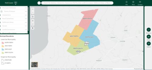
The public can easily access some of the most often requested core data that is maintained by the County’s GIS Team using the Lite version of our interactive map. Read full article here.
Mapping historical buildings in Halifax unveils the truth
Mapping some of the oldest Halifax buildings has helped discover that only 1,143 of the 9,000 structures constructed prior to 1878 have withstood the test of time. They have been lost to fires, demolition, or redevelopment. The researchers relied on large-scale maps released in 1878 by American civil engineer Henry W. Hopkins, the earliest and most comprehensive evidence it could find—to learn which buildings existed 146 years ago.
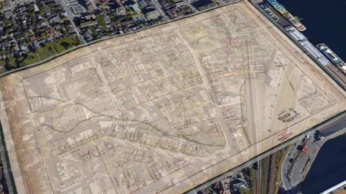
He said he hopes this map encourages planners and the public to think of their city as the connection between past and present, which is why it should be protected. Read full article here


Be the first to comment