
- Ottawa reveals a map of residential schools to assist in the search for children who went missing
- Free Food launches detailed database mapping food banks across Canada
- The province forces conservation officials to abandon wetlands mapping efforts
- Hamilton students are travelling to Iceland to use drones for mapping caves, aiming to adapt this technology for future space applications
- Flood mapping is hampered by the fear that real estate values may decline
Ottawa reveals a map of residential schools to assist in the search for children who went missing
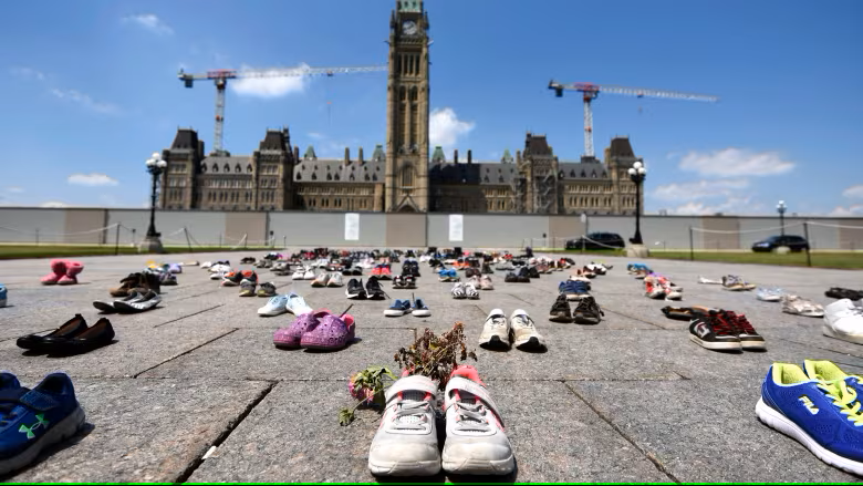
The Canadian government has created an interactive map displaying the sites of former residential schools to help discover unmarked Indigenous children’s graves. This map, which includes modern and historical aerial images, seeks to provide the correct locations for these buildings, many of which have been destroyed or repurposed. Experts anticipate it will be a useful resource for both communities and scholars. While the map does not cover all institutions, it is viewed as a step forward in dealing with the history of residential schools and combatting disinformation. For additional information, see the complete story here.
Free Food launches detailed database mapping food banks across Canada
Free Food has launched a detailed database that maps every food bank in Canada, to improve access to important food supplies. This programme offers real-time open status updates, multilingual support in more than 200 languages, and community feedback to help people and families find free meal services. The ability to identify which food banks are now operating is a unique feature that provides consumers with timely information during times of need. The platform promotes community interaction through online reviews, which increases transparency and helps people make educated decisions. With aspirations to grow in the United States, The Free Food is committed to using technology to improve accessibility. For more information, check out the article here and visit the website here.
The province forces conservation officials to abandon wetlands mapping efforts.
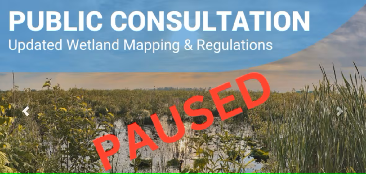
The Ontario government has delayed plans by three conservation bodies in eastern Ontario to update wetlands mapping, citing objections from landowners who were caught off guard by the process. This decision was made because new provincial regulations were misunderstood as mandating the changes. Landowners such as Richard Lafontaine of South Dundas were concerned that their properties were being incorrectly labelled as wetlands without due consultation. Public discussions on the subject were abruptly halted, eliciting criticism from local politicians and advocacy organizations for inadequate outreach. The authorities want to design a new strategy in consultation with the ministry and impacted parties. See the complete story.
Hamilton students are travelling to Iceland to use drones for mapping caves, aiming to adapt this technology for potential space applications
Hamilton McMaster University students are headed on a journey to Iceland to survey subsurface lava tunnels using custom-designed drones. The project is a part of the McMaster Deep-space Analogue Research Expedition (DARE), which proposes to create technologies that may be applied to future space research expeditions. The team’s drone, Canary, outfitted with LiDAR sensors, will build digital maps of the caves to aid in the exploration of underground settings comparable to those seen on the moon or Mars. This hands-on trip demonstrates their dedication to aeronautical innovation and testing solutions for extreme conditions. See CBC News here for more information.
Flood mapping is hampered by the fear that real estate values may decline
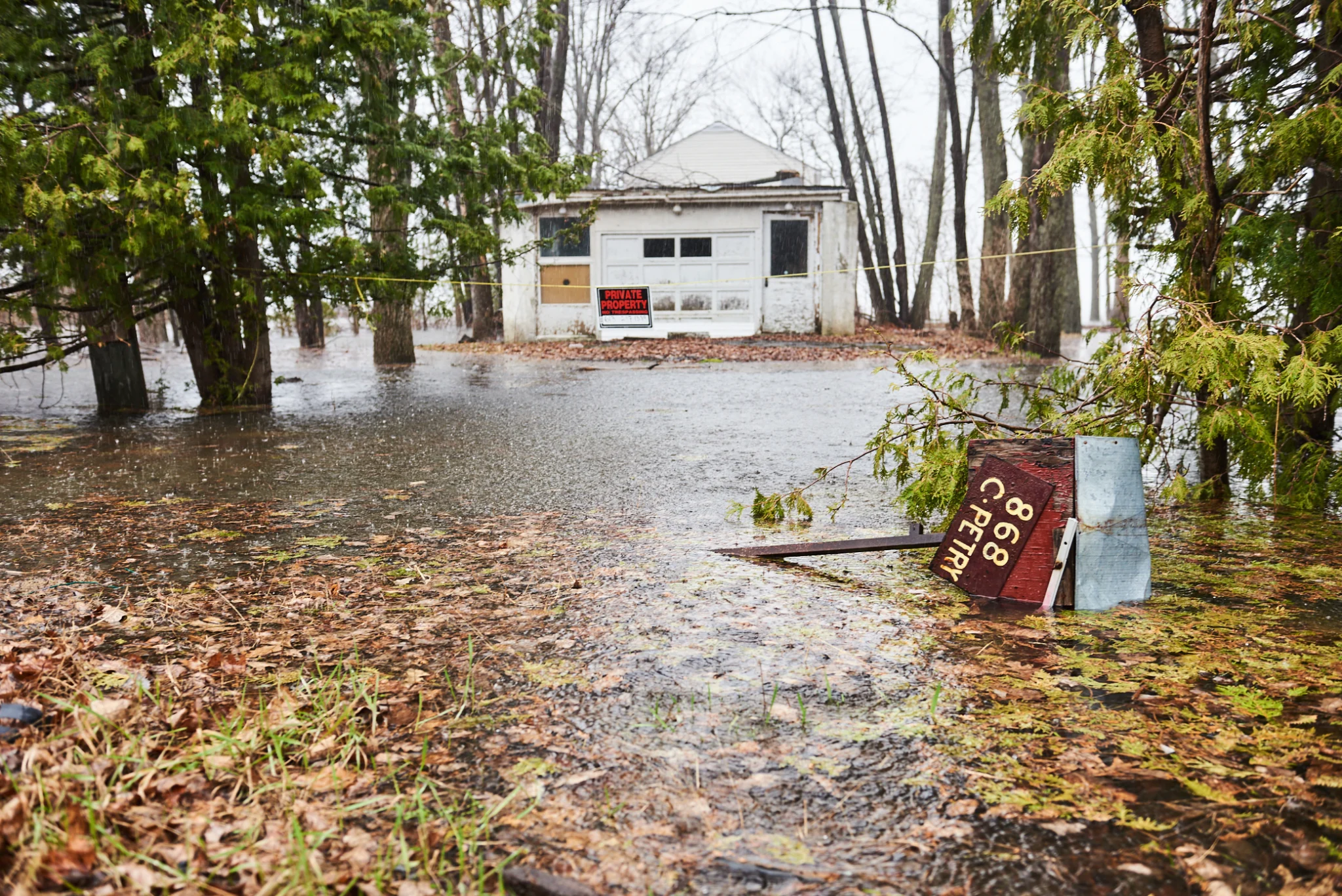
Concerns about potential property value declines are impeding efforts to execute flood mapping activities throughout Canada’s coasts and waterfronts. According to Dalhousie University researcher Kate Sherren, there is substantial hostility among people who believe that their real estate will be devalued. Despite the crucial necessity for flood maps as a public resource, opposition has affected governmental decisions, including Nova Scotia’s recent repeal of the Coastal Protection Act. The studies reveal widespread hesitation among property owners, emphasizing the difficulties in balancing individual property concerns with the larger community and the environmental problems posed by rising flood hazards. Read the complete article here.



Be the first to comment