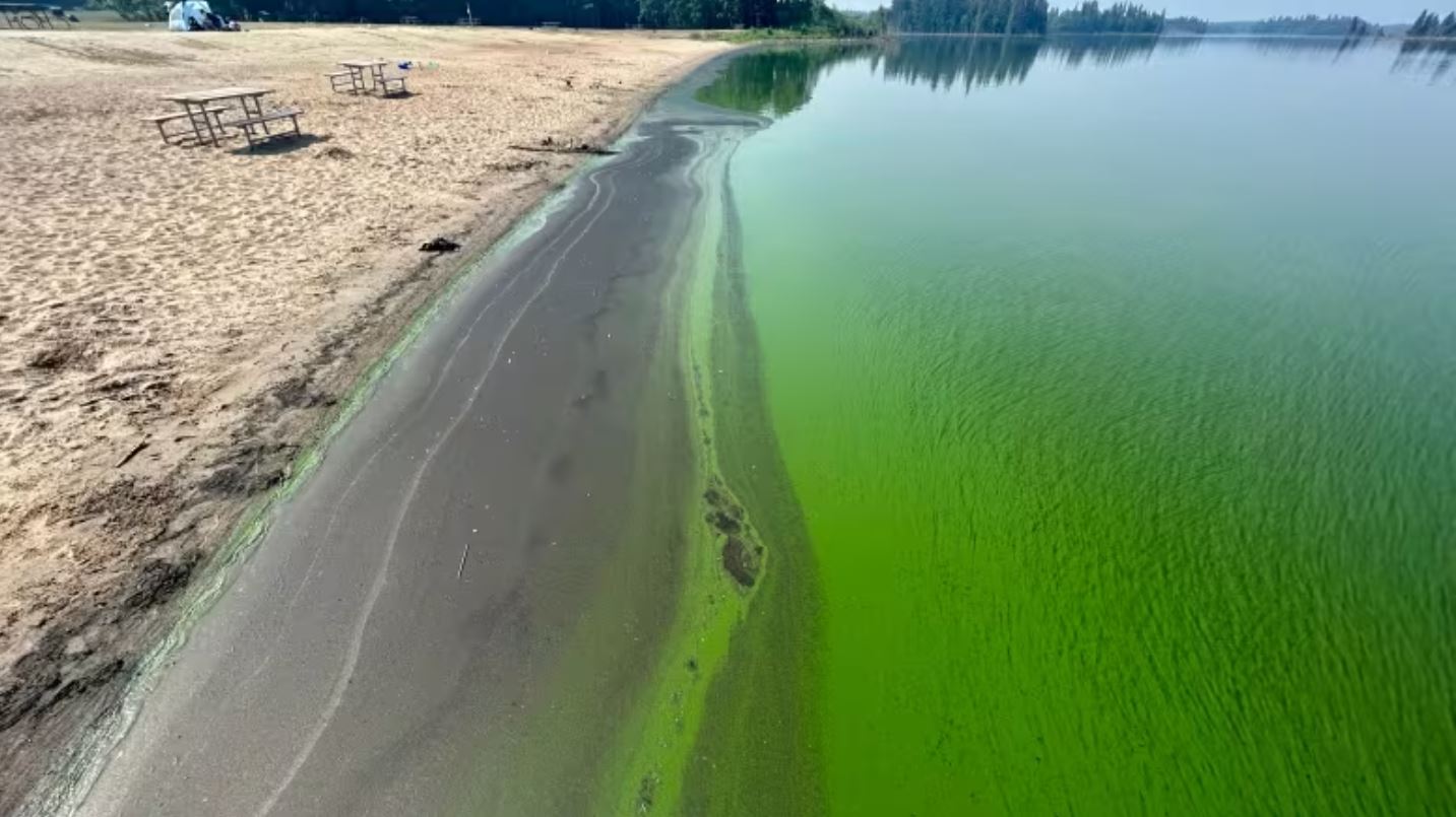
- Satellite Technology and Real-Time Water Sampling Enhance Blue-Green Algae Research in Alberta
- Two pioneering Canadian drone companies collaborate to fight wildfires in Kelowna
- Esri Canada’s Partners in Education program provided by Alloprof for K-12 learning
- Connect every Canadian by the end of 2030 through telecommunications and vertical infrastructure
- AA ValueIT is a web-based application for property valuations developed by Esri Canada
Satellite Technology and Real-Time Water Sampling Enhance Blue-Green Algae Research in Alberta
An intriguing initiative in Alberta marries satellite technology with nearly simultaneous water sampling, resulting in enhanced data collection regarding the distribution of blue-green algae. What sets this project apart is its ability to gather water samples precisely when a satellite traverses a lake, delivering up-to-the-minute information on algae levels. Read more here.

Two pioneering Canadian drone companies collaborate to fight wildfires in Kelowna
In response to wildfires in Canada, two innovative Canadian drone firms, InDro Robotics and Spexi Geospatial, collaborated to provide critical aerial data to responders. They deployed lightweight commercial off-the-shelf drones utilizing the Spexigon automation platform. A distinctive element of this effort was the incorporation of Spexigon, an application-based system facilitating automated flights with easily accessible commercial drones. The mission aimed to leverage drones for gathering vital information that couldn’t be obtained through other means. Read more here.

Esri Canada’s Partners in Education program is provided by Alloprof for K-12 learning.
by joining Esri Canada’s Partners in Education program in 2021, Alloprof gained access to various resources and tools for developing and enriching its educational content. Alloprof is dedicated to creating educational materials for students, teachers, and parents and offers ongoing support tools to help students achieve academic success. To know how Geographic Information Systems (GIS) enrich Alloprof’s educational resources read here.

Connect every Canadian by the end of 2030 through telecommunications and vertical infrastructure
The Canadian government is actively contributing funds and providing support for the advancement of telecommunications infrastructure. This is in recognition of the critical importance of utilizing drone technology and other advanced tools to capture and document vertical infrastructure in field settings, thereby delivering high-quality data for future endeavors. Read more here.

AA ValueIT is a web-based application for property valuations developed by Esri Canada
Esri Canada has unveiled Assessment Analyst ValueIT, a cutting-edge application aimed at elevating the precision of property assessment values. This innovative tool boasts advanced visualization and analytical capabilities that proficiently identify discrepancies and inaccuracies within property valuations. Read more here.


Be the first to comment