Jonathan Murphy: Hi Claus, and welcome to the GoGeomatics Canada community. First off, can you tell us about where you are from and where you got your GIS education?
Claus Rinner: Hi Jon, thanks for having me. I am a German and French national, and got my degree in Applied Systems Science with some GIS training in Osnabrueck, Germany, studied Applied Maths for one year in Montpellier, France, and got my PhD in Bonn, Germany, where I developed the concept of argumentation mapping as a contribution to GIS.
Jonathan Murphy: What was the first real GIS job that you had? What was it like?
Claus Rinner: Upon completion of my PhD, I was hired as a web mapping software developer by a start-up company. However, I quickly returned to academic positions, starting as a limited-term assistant professor in the Institute for Geoinformatics at the University of Muenster, Germany, followed by a three-year appointment in the Department of Geography at the University of Toronto.
Jonathan Murphy: You have held a number of positions at Ryerson over the years. How have you seen GIS change in the industry since you started teaching it? What is different today as opposed to when you first started molding young geospatial minds?
Claus Rinner: I joined the Department of Geography and Environmental Studies at Ryerson University in 2006 and became Graduate Program Director of the Master of Spatial Analysis in 2007. To be honest, I don’t think the industry has fundamentally changed over the last decade. Sure, there are new types of software tools for online mapping, story maps, and advanced analytics. But we are still teaching the same fundamental concepts underlying GIS technology and our graduates are still finding jobs as GIS analysts, retail analysts, market research analysts, mapping technologists, and so forth. If anything, we have seen new areas of GIS application emerging, including public health and crime analytics.
Jonathan Murphy: What makes Ryerson such a great institution for GIS and geography?
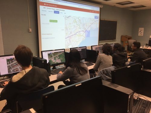
Claus Rinner: In line with Ryerson’s special mission to provide career-relevant education, our BA in Geographic Analysis represents an applied, professional view of Geography that you will hardly find anywhere else. Ryerson offers specialist programs, not majors, thus our students take 23 Geography courses out of their 40 credits. For the typical Geographic Analysis student, more than half of these courses will be lab-based. This tells you about the importance we are placing on GIS and remote sensing as core tools of geographic inquiry and problem-solving. Our GIS certificates and the MSA graduate program pursue the same philosophy. We also offer a BA in Environment and Urban Sustainability and these students can take a minor in Geographic Analysis.
Jonathan Murphy: How does the Ryerson program make sure the students are graduating with the skills the workforce is looking for?
Claus Rinner: We maintain the hardware for three computer labs and use up-to-date commercial and open-source software in class, without always jumping on the latest technology trend. Key to the career success of our graduates is our faculty expertise, the lab-based courses, and other experiential learning components, in particular the required GIS internship placement. When students return from their full-time summer work experience to complete Year 4, they have matured to the point where they understand the value of their previous classroom learning and can see themselves pursuing the GIS-focused careers that their program prepares them for. In addition, they will take a selection of two capstone courses with additional exposure to external clients, for whom groups of students serve as consultants.
Jonathan Murphy: One of our favourite questions to ask is what is the most difficult concept for students to grasp when they first come face to face with GIS and spatial analysis?
Claus Rinner: Most of my teaching has been at the senior or graduate level, but my impression of first or second-year students is that remembering and understanding fundamental terminology (such as ‘object/feature’, ‘attribute’, or ‘layer’) which is so important for the student to master in order to become an independent learner. In my courses, I never provide software-specific click-by-click instructions. Students will learn to use the software’s help function in order to solve given tasks, and for that, they will need to study and understand terminology.
Jonathan Murphy: How many students do you graduate each year?
Claus Rinner: We have about 30-40 Bachelor’s and 20 Master’s students graduating each year. Our undergraduate class sizes are currently on the low side, which is great for students who choose the program, but it is not in the best interest of industry or society, as more geospatial analysts are needed!
Jonathan Murphy: What are the job prospects like for graduates of the Ryerson programs? What does the GIS job market look like today from your perspective?
Claus Rinner: While all university programs continue to have high employment rates, the combination of hard and soft skills imparted by our Geographic Analysis program generate outstanding job prospects for our graduates. We have many stories of graduates who stayed on in part-time positions with their placement hosts through Year 4, and got full-time job offers the moment they graduated. Due to our 40-year history of graduating classes since Spring 1978, we also have a large number of graduates who reached upper management positions, for example the CEO of the Canadian National Exhibition, the Director of Major Capital Infrastructure Coordination at the City of Toronto, or the General Manager of Toronto Water.
Jonathan Murphy: Are you bringing open source GIS software into your program? If so, do you have to teach it in a different way than the standard industry software packages?
Claus Rinner: We are not bound to specific software technology but rather focus on the underlying concepts. Some open-source tools are nearly as powerful as (and sometimes more reliable than) commercial GIS packages, of which we also teach a variety. I should add that open data now plays a major role in mine and my colleagues’ teaching, as it makes a great number of datasets of local importance available for GIS lab assignments. For example, I just had students in GEO641 –“GIS and Decision Support” use City of Brampton open data to assess potential sites for Ryerson’s new campus in Brampton.
Jonathan Murphy: We appreciate you taking the time to talk to GoGeomatics Canada and discussing your program. Our final question: will you come to our Toronto Back to School Social this year in September and bring your students?
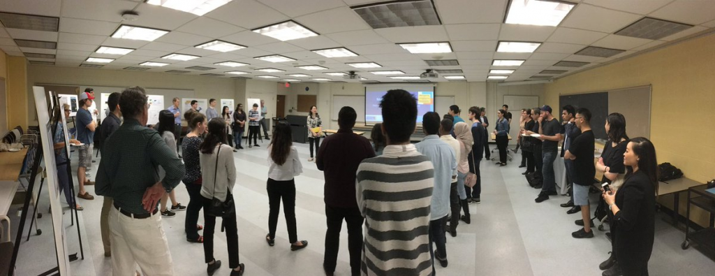
Claus Rinner: I would love to attend the back-to-school event and the regular GoGeomatics socials, but haven’t been available yet for personal reasons. Some of my students are participating and I will certainly continue to promote this professional networking venue to students and try to attend future events!
The program at Ryerson has a fun Blog that they keep up to date. You can see more of Claus and his award winning students here



Be the first to comment