The Back To School Social in Lawrencetown, Nova Scotia is preceded with an engaging panel in the COGS auditorium. Geomatics professionals including, Jonathan Murphy, Nicole Caissie, Ted McKinnon and Tim Webster will discuss the state of the industry, new technologies, future trends and careers in geomatics.
Location: COGS, Lawrencetown, auditorium
Date: Friday Sept 15th, 3:30pm
Cost: Free
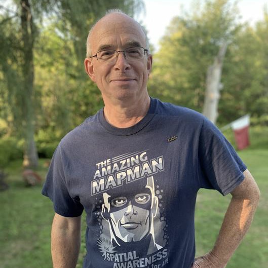
Dave MacLean (as the panel moderator) GIS instructor COGS
David is well-known in the geomatics community as an instructor at the Centre of Geographic Sciences (COGS), where he has instructed students primarily in GIS for many years. He was widely recognized for his valuable contribution to space photography when he mapped Chris Hadfield’s collection of Earth photographs from the International Space Station.
 Jonathan Murphy – GoGeomatics
Jon is the founder and Managing Director of GoGeomatics Canada, Canada’s largest professional geospatial network and host of GeoIgnite, SUMSF, Lidar CANEX and the GoGeomatics Expo. He holds a bachelor’s degree in Archaeology from the University of Calgary and advanced diplomas in GIS and geomatics from COGS.
 Nicole Caissie – Eagle Engineering
Nicole is currently an Engineer in Training at Eagle Engineering and Consulting where she performs pole engineering analysis to verify design requirements for telecom projects. She graduated from the University of New Brunswick in Geodesy & Geomatics Engineering with a focus in Seafloor & Coastal Mapping.
 Ted MacKinnon – Natural Resources Canada
Ted has over 20 years of geomatics experience (GIS, Remote Sensing, Cartography, LIDAR and; GPS Surveying). His diverse background obtained through a combination of experiences from data acquisition, data creation, analysis, problem solving, customer service, technical writing, project management, program development, supervising and networking has fueled his career over the years.
 Tim Webster – Applied Geomatics Research Group
Dr. Tim Webster, is a renowned research scientist with the Applied Geomatics Research Group (AGRG) in Middleton, Nova Scotia. He is one of the top researchers in the geomatics sector, specializing in flood risk mapping, shoreline delineation, and landscape evolution utilizing LiDAR and other remote sensing techniques.




Be the first to comment