
Every day over 500TBs of data flow from earth observation satellites. Pair that with data from billions of smart devices, remote sensors and IoT devices, and we have almost limitless amounts of data to make sense of and apply in a useful way.
We’ve had the privilege of working with many companies to harness and analyze this geospatial data to answer questions, solve problems and enhance technology products.
We started asking ourselves: What if there was a tool that allowed us to access more data, on larger scales, to tackle questions and problems faster than we have ever been able to before.
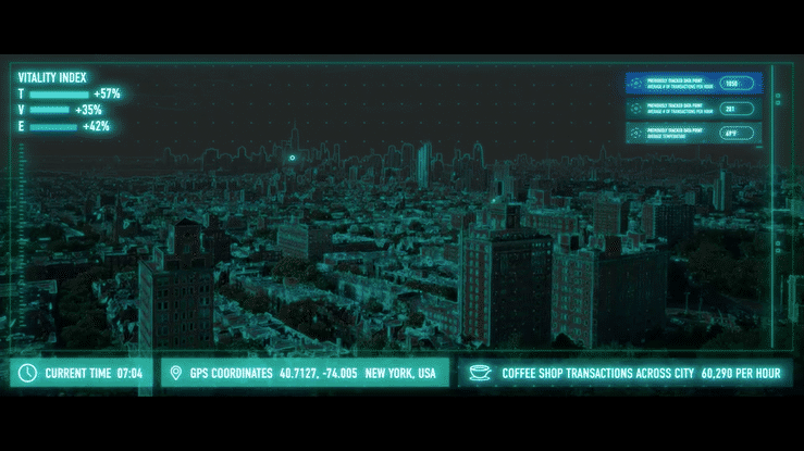
Prescient enables users to access and transform petabyte-scale data
The Sparkgeo team is proud to launch Prescient – a new Earth observation toolkit that binds organizations’ internal data sources, third-party data sources, and pipes in earth observation data to bring location-based intelligence to their technologies. Prescient enables organizations whose core business is centered around location, to rethink, reinvent and evolve the core of their operations. It allows them to build technologies that can assess and analyze location-based information better than any human can, using machine learning. It scales, it’s fast, and allows users of all technical abilities to change how they work.
Prescient data is accessible to users of all technical ability
The platform can help companies and leaders of all technical ability answer big questions around location. Whether it’s regarding our planet, our climate, our structures or your proprietary enterprise data, Prescient can add location-based intelligence to your operations.
In practice this means an insurance analyst can not only accurately estimate the age and material of a roof using satellite imagery, but can do it for every single roof on the planet, in just a few seconds while also calculating its risk exposure from flooding, by programmatically analyzing the grading of the property.
The application of Prescient can also support governments and policy-makers in making important fact-based decisions for our communities, like allocating resources for climate change action. For example, a climate impact organization can analyze the carbon capture utilization of various tree species across the globe, not annually but daily. Or it can track how effective a carbon capture facility is at removing carbon emmissions from its environment.
Learn more about Prescient
The applications for Prescient are far-reaching, with some of the most pressing examples in finance, insurance, automotive and climate impact.
Interesting in learning more?Watch our launch video and visit Prescient.earth to set up a consultation with our team.


Be the first to comment