
The Canadian geomatics community is moving into high gear for Canada’s National Geomatics Expo 2024, we are ready to unveil the official Program and Activities Guide. Taking place from October 28-30, 2024 in Calgary, Alberta, this year’s event promises to be a showcase of innovation, leadership, and industry transformation across geomatics and geospatial technologies.

The Program Guide is your gateway to everything happening at the Expo, from keynotes to workshops, panels, and networking events. This year’s highlights include:
- Annual BIM Summit 2024: Dive into the digital transformation of the built environment with thought leaders exploring the intersection of BIM and geospatial technologies.
- Reality Capture & Digital Twins Program: Join experts as they showcase cutting-edge projects in Lidar, photogrammetry, and digital twin technologies.
- Geospatial AI Program: Discover the latest innovations in AI and machine learning for geospatial applications, including talks from leading researchers and professionals in the field.
- OGC Canada Forum: Engage in discussions on geospatial standards, data interoperability, and spatial data infrastructure across Canada.
- National Geomatics Networking Reception: Don’t miss this exclusive evening of networking with industry leaders, accompanied by gourmet snacks and great conversation.
Special Programs for Industry Professionals and Enthusiasts In addition to keynotes and panels, the Expo will host a variety of specialized programs such as:
- Hydrospatial for Water Resilience: A program focusing on integrating geospatial technologies to address water challenges, including flood risk management and environmental conservation.
- Subsurface Utility Engineering Advances: Explore the latest in SUE data collection, modeling techniques, and AI-enhanced utility mapping.
- Earth Observation and Geomatics: Gain insights into the latest advancements in environmental monitoring, disaster response, and resource management through earth observation technologies.
Workshops and Interactive Sessions Attendees will also have the opportunity to participate in hands-on workshops like:
- Storytelling & Content Marketing for Geomatics and Engineering
- Getting Started with Arc Hydro to Support Watershed Modelling
- Detect and Classify Objects Using Deep Learning in ArcGIS
This comprehensive guide will ensure you stay on top of the latest sessions, events, and networking opportunities.
Download the Program PDF and start planning your Expo experience!

There’s still time to secure your booth for Canada’s National Expo. Whether you’re looking to showcase your products, connect with potential clients, or network with industry leaders, this event is the perfect platform. The deadline to reserve your booth space is rapidly approaching. Get your booth now!

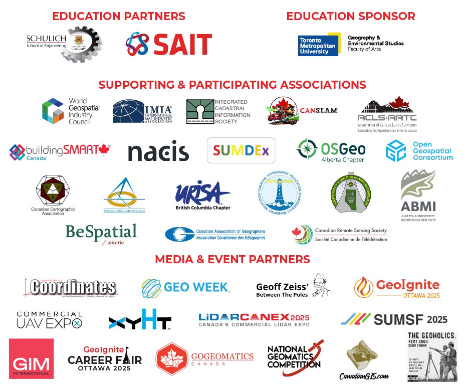
Thank you to our sponsors!
Platinum

Silver
![]()
![]()


Be the first to comment