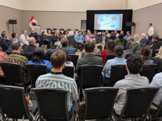
A successful and informative Day Three of the GeoIgnite 2021 conference closed out with an inaugural panel of provincial and territorial geospatial and location technology leaders. In it, panelists discussed priorities and challenges across jurisdictions, some current data sources to address key needs and priorities, and how jurisdictions leveraging collaborations to achieve their objectives. To learn more from these great Canadian leaders in the industry, watch this panel below.
Canada’s Provincial & Territorial Geospatial Leadership Panel
Trevor Taylor, the moderator of this panel currently responsible for OGC’s Services for Asia and the Americas, has over twenty-five years of experience in the international Earth Observation community. Mr. Taylor has significant global experience in a wide variety of technical, client services, project, business and strategic planning activities.
Melanie Desjardins is the Chair of the Canadian Council on Geomatics representing provincial and territorial jurisdictions across Canada, along side the Federal Co-Chair. She holds a BSc. in Biology from Dalhousie University and two post-graduate diplomas from the Centre of Geographic Sciences in Geographic Information Systems and Applied Geomatics Research. Melanie has worked in the public service since 2001 and has held a variety of geomatics roles with Parks Canada, Aboriginal Affairs & Northern Development Canada, and the Government of the Northwest Territories (GNWT).
James Britton has been in the Cartography, Remote Sensing and Geomatics field for over 40 years, working in the private, public and academic sectors. He joined the Ontario Ministry of Natural Resources in 2002 where from 2006 he was the Manager of the Water Resources Information Program until it was merged into the Spatial Data Infrastructure Unit in 2013. In 2015 he was appointed manager of the Mapping and Geographic Services Section where he is part of the team delivering the Land Information Ontario program.
Colin Macdonald is a Geomatics professional with over 20 years experience working with geographic information. Interests include spatialdata infrastructures and data governance. Has worked in Ontario, Chile, and Nova Scotia.
Watch more panels, keynotes, and talks from GeoIgnite 2021 on our YouTube channel.


Be the first to comment