
Geospatial technology continues to evolve and find application across a wide range of industries, with one of its most impactful roles being in environmental protection and management. From monitoring landscapes to supporting responsible resource development, Geographic Information Systems (GIS) and remote sensing technologies play a key role in shaping environmentally sustainable solutions.
This case study explores how Vertex Resource Group Ltd., a Canadian environmental services leader, is leveraging geospatial technologies to meet the environmental needs of industries such as oil and gas, mining, and municipal development. Through an overview of their operations, environmental services, and the specific role of GIS and remote sensing in their workflows, this article highlights how Vertex stands as a model for the integration of geospatial tools in environmental consulting.
About Vertex Resource Group
Founded in 1962, Vertex has grown to become a leading North American provider of environmental and industrial services. Their client base spans a range of resource-driven sectors, including oil and gas, midstream, utilities, mining, forestry, agriculture, and real estate. They maintain a strong presence in prominent resource-based municipalities such as Calgary, Fort St. John, and Lloydminster.
Their mission, “To continually evolve, expanding our knowledge base, service offerings and expertise, enabling us to serve our customers with increasingly innovative solutions,” reflects the company’s commitment to adaptive growth and client-focused innovation.
Environmental Services Portfolio
Vertex offers a comprehensive suite of environmental consulting services, particularly suited to the complex regulatory and ecological challenges faced by resource industries. Their key focus areas include:
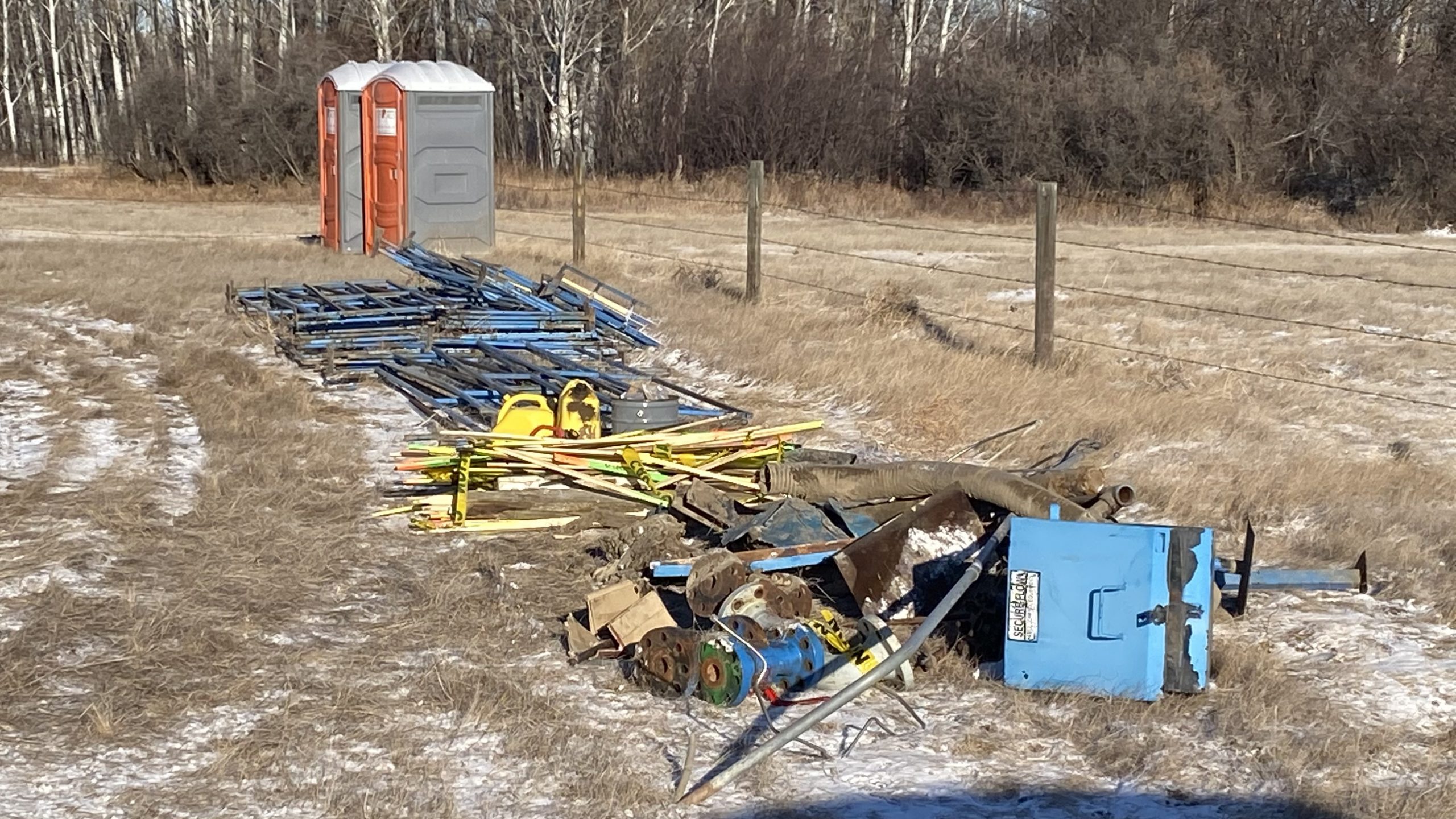
Abandonment & Decommissioning
Vertex supports clients through the closure phases of wells, pipelines, and facilities, ensuring compliance with increasingly stringent regulatory standards. Their services include legal design consulting, field inspections, report assessments, and pipeline and facility decommissioning, all of which are crucial during the final lifecycle stages of industrial infrastructure.
Environmental Assessment
Environmental assessments by Vertex encompass the planning, implementation, and monitoring of reclamation programs. Services include Phase I and II Environmental Site Assessments (ESA), natural vegetation surveys, and provincial regulatory compliance for regions including British Columbia, Alberta, Saskatchewan, and Manitoba. These assessments are vital to maintaining ecological integrity during and after industrial activity.
Site Restoration
Restoration services focus on Environmental Remediation tailored to client project goals. Vertex’s multidisciplinary teams deliver solutions involving soil and groundwater remediation, risk assessment, and geomatics services to restore sites in a compliant and environmentally responsible manner.
Integration of GIS and Remote Sensing
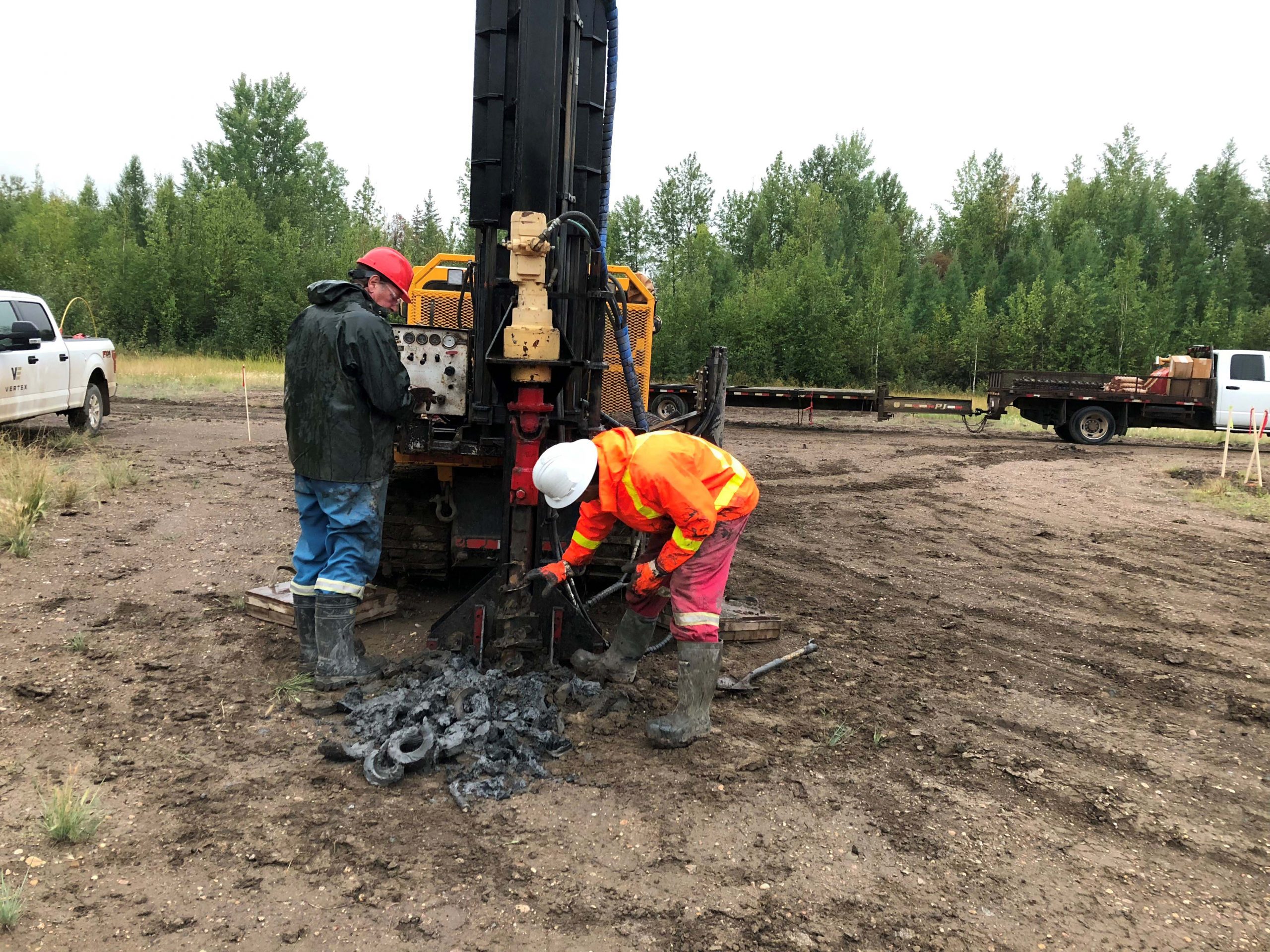
GIS and remote sensing are central to how Vertex approaches environmental data collection, analysis, and reporting. The company blends high-resolution field assessments with low-resolution but cost-effective satellite imagery to create a scalable and efficient data-gathering process.
Field teams use geospatial tools to mark spatial data such as road locations, vegetation types, and reclamation zones, while GIS analysts integrate this information with imagery and sensor data. This hybrid approach reduces the need for excessive field time, cuts costs, and improves communication between field and office staff.
Applications in Environmental Workflows
- Mapping & Site Surveys: GIS supports the spatial placement of key infrastructure and environmental features such as wellheads, underground utilities, and ecological boundaries.
- Real-Time Data Sharing: With modern GIS and web mapping platforms, data can be updated and shared in real-time, allowing stakeholders to monitor project progress transparently.
- Advanced Tools & Techniques: UAVs, multisensor platforms, and RADAR technologies are used for terrain mapping, vegetation classification, and environmental impact assessments.
This combination of traditional field techniques with modern geospatial technology ensures that Vertex delivers accurate, timely, and actionable insights for their clients.
Proven Track Record
Vertex’s reputation is not only based on its technological capabilities but also on its commitment to safety, diversity, and operational excellence. A notable accolade is the Gold Shovel Standard Certification received in 2017. This recognition is awarded to contractors with robust safety management systems aimed at ensuring safe excavation practices and the protection of underground assets.
Vertex Resource Group Ltd. exemplifies how Canadian environmental companies are embracing geospatial technology to enhance their service offerings. By integrating GIS, remote sensing, and real-time data sharing into their environmental consulting workflows, Vertex sets a high standard for innovation and accountability. Their approach reflects a forward-thinking ethos that prioritizes environmental stewardship, safety, and technological advancement—values that are increasingly vital in today’s resource-driven economy.


Be the first to comment