- Digital Twins: The EU’s Answer to Climate Change?
- Google Earth Brings WWII History to Life with New Imagery
- China’s Nuclear Site Expansion Exposed by Satellite Photos
- The Real Size of Countries: How Maps Have Fooled Us
Digital Twins: The EU’s Answer to Climate Change?
The EU’s Destination Earth (DestinE) project uses digital twins to simulate Earth, predicting weather extremes and aiding climate adaptation. Launched in June 2024, DestinE integrates vast data to model past conditions and forecast future events, potentially optimizing renewable energy and informing climate policies. While its short-term predictions are reliable, questions remain about its long-term value, given the complexity of climate forecasting.
With projects from Nvidia and NASA also in development, DestinE stands out for its comprehensive approach, positioning the EU as a leader in climate-focused AI and digital twin technology.
Google Earth Brings WWII History to Life with New Imagery 
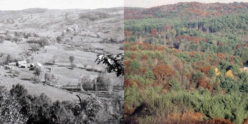
Google Earth has introduced historical imagery dating back to World War II, offering a unique glimpse into the past with satellite and aerial photos. The update includes images from as early as 1938, showing changes in cities like London, Berlin, and San Francisco. This addition enhances Google’s Timelapse tool, which previously only offered images from 1984 to 2022. Google also released new Street View images across 80 countries, while AI enhancements improve image clarity by removing mist and haze.
For more details, you can read the full article here.
China’s Nuclear Site Expansion Exposed by Satellite Photos
Satellite images have revealed significant upgrades at China’s nuclear testing site in the Xinjiang region. The new imagery shows increased construction activity, including tunnels and buildings, suggesting China is expanding its nuclear capabilities. Experts believe the site could be used for testing nuclear weapons and technologies, raising concerns about China’s potential nuclear advancements. This development comes amidst growing international scrutiny of nuclear programs and heightens global tensions regarding arms control and security.
visit the original article here.
The Real Size of Countries: How Maps Have Fooled Us
The article points out how traditional maps, like the Mercator projection, give a distorted view of the world. Places like Europe and Greenland seem way bigger than they are, while massive continents like Africa appear much smaller. This warps how we see the world and underplays the real size of places like Africa and South America. It’s a reminder that not all maps show the world as it truly is!
You can check out the full details here.


Be the first to comment