
Mapping competitions are a unique way to demonstrate geospatial expertise by challenging individuals to create unique works and showcase their abilities. Several mapping competitions are hosted annually across Canada, the United States, and internationally. The projects can consist of traditional mapping, stories involving spatial analysis, and even a combination of physical and mental abilities.
The majority of competitions focus on those enrolled in academics. ESRI, North American Cartographic Information Society (NACIS), Canadian Cartographic Association, and Avenza, all host student mapping competitions annually, all with winning prizes and public recognition. These events help showcase the love for not just data, but the artistic value mapping provides to clearly visualize information.
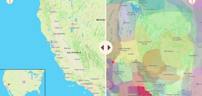
ESRI 2024 ArcGIS StoryMaps Competition Student Winner, Ruzena Zatko, Interpreting Brownstone Canyon with the use of GIS. This archaeological district is severely understudied. It’s at risk of data loss, and evidence shows it may have been a pilgrimage site.
Archives of historical winners can be found in the catalogue of each website. Some examples include coast-line change, urban forestry, and cultural tourism, to name a few unique ideas. Links to the respective websites can be found at the bottom of this post.
Other, less traditional competitions, include a military competition involving elements of not only data analytics, but physical ability and data collection as well. Geospatial engineers assigned to the 517th Engineer Detachment — Geospatial Planning Cell (517th GPC), U.S. Army Southern European Task Force, Africa (SETAF-AF), competed in a mapping competition in Italy.

The competition tested their physical, intellectual, and communication skills as they competed in feats of strength, created geospatial products, and briefings. One of the more unique competitions that showcases all the elements and hard work that actually goes into making a complete geospatial product from surveying, to data processing, to presenting and explaining deliverables to clients. More about this can be read here
Overall, this is an excellent way to showcase what the geospatial community can do, while also featuring the more artistic side of geospatial products.
Links to sources provided below:
Geospatial planning cell holds best mapper competition in Italy
2024 ArcGIS StoryMaps Competition
NACIS Student map and poster competition
Canadian Cartographic Association Mapping Competition


Be the first to comment