Recently we, as geomatics practitioners, have witnessed much discussion and debate between colleagues and over a number of social media channels about the Canadian Geomatics Community Roundtable (CGCRT) and specifically the discussion draft of the Pan-Canadian Geomatics Strategy. In a recent article written by Peter Sullivan for the CGCRT titled “Join Canada’s Surveyor General for a National Dialogue to Revitalize the Geomatics Community”, I stated in the comments section that I’ve never been so optimistic about the future of Geographic/Geospatial education in Canada but I’m also excited by the potential in the future of Geographic/Geospatial education in Canada. My excitement could also be the product of finding more like-minded people around the country that share my passion for educating students and citizens about how cool geography is. After all, there is strength in numbers. But very soon after I posted my comment, more comments appeared and I thought to myself, would those comments have appeared had I not posted mine? Face it, we’ve all read articles in one medium or another and thought, “I have a thing or two to say about that”, only to scroll down and find no one else has said anything. Most times this takes the wind out of our sails (at least mine anyway) to where we stop and think, “Can I add anything of value to this conversation?”
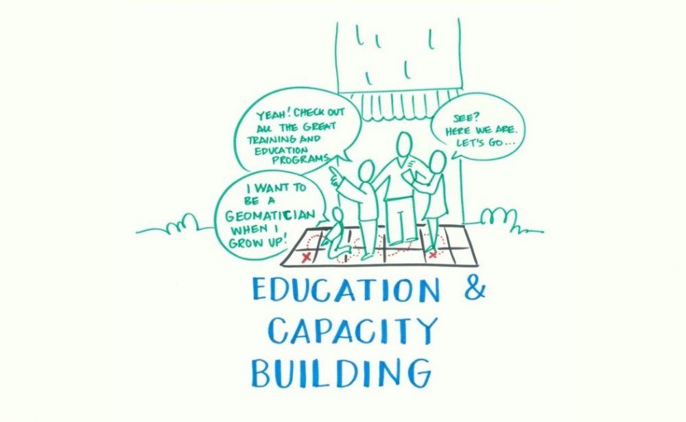
My belief is, when it comes to something like creating a national strategy on anything the more voices the better, especially when it comes to something like geomatics (geography), which touches so many lives – the “K-grey” as Mr. Sullivan described it. The “Education and Capacity Building Dimension – Community Discussion Document” outlines a number of strategic objectives in order to move towards the broad aims of preparing Canadians to compete and succeed in a location enabled society as well ensuring that there is a critical mass of talented and highly qualified professionals. We can’t wait any longer. The path to achieving these goals begins with the child in Kindergarten.
On Wednesday, March 19, 2014 I am encouraging educators, students, and industry to join me in discussing the validity of the documented challenges and opportunities. Is there any missing that you believe should be included? Do you have a vision for how the strategic objectives can be met? Are there any objectives that should be added?
When I started Geospatial Niagara in January of 2013 I had very lofty goals (and still do) of building the capacity in Niagara towards the growth of a geomatics/geospatial economic sector; to promote geo-literacy and community participation through geography. The Education and Capacity Building document reads like a business plan to achieve those goals, but locally in Niagara, there are roadblocks to affecting change.
What are the roadblocks?
How can we overcome them?
How do we facilitate connections between education and industry that can be maintained and meaningfully cultivated over the long term?
Now that we have some clear goals to discuss and questions to answer will you join with me and others over coffee to discuss and then we will submit our ideas to the CGCRT for inclusion in the National Strategy for Geomatics in Canada for consideration? All points of view are welcome from students, professionals and businesses. Comments can also be submitted to me via email for inclusion at [email protected]
It’s time for a discussion in Niagara but I also encourage everyone across Canada to do the same. Join me!
Where: Starbuck’s Coffee – 309 Lake Street, St. Catharines
When: Wednesday, March 19 @ 6 pm.
Should the response be overwhelming, if anyone who would like to attend could donate the use of a meeting space or boardroom please let me know.
Already joining us are:
Janet Finlay
Program Coordinator
Niagara College GIS/Geospatial Management Post Graduate Program
Niagara on the Lake, ON
and…
Andrew White
High School Geography Teacher
District School Board of Niagara
Eden High School
St. Catharines, ON


Be the first to comment