
Join us as we look at new advances and interesting ideas in geospatial AI while leveraging the power of geomatics and fostering collaboration among experts across disciplines.
Geomatics: The Next Digital Revolution
Join Bryn Fosburgh, Senior Vice President at Trimble Inc., as he presents a compelling keynote on “The Essential Human Element in AI-Enabled Geomatics Applications” at the National Geomatics Expo. As AI continues to revolutionize how we capture and analyze spatial data, Bryn will emphasize the critical role that human expertise and intuition play in ensuring the success of these advanced technologies. Discover how the integration of human insight with AI can enhance decision-making, drive innovation, and maintain ethical standards in the geomatics industry. Don’t miss this insightful discussion on balancing technology with the irreplaceable value of the human touch.
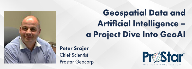
Geospatial Data and Artificial Intelligence – a project dive into GeoAI
How exactly does artificial intelligence work and what can you use it for in the geomatics domain? Using real-life examples from our projects, they demonstrate how you can use AI to gain new insights and increase efficiency by automating your data processing workflows.
We explore how GeoAI is fusing spatial data science and Geomatics technology to help automate the extraction, classification, and analysis of all types of spatial or non-spatial data. Learn how GeoAI can detect clusters, calculate change, find patterns, and allow advanced analysis with adaptive spatial models and algorithms.
Also shown are key areas of applications and models in GeoAI, challenges to adopt GeoAI methods and technology as well as benefits. This article also included a case study on the use of GeoAI in image detection and segmentation, as well as recommendations.
Missing Road Detection Using Deep Learning Techniques in ArcGIS
Join Mohamed Ahmed, a Spatial Data Scientist at Esri Canada, as he presents his groundbreaking research on enhancing road network mapping at the National Geomatics Expo. With expertise in GeoAI, Geospatial Technology, Data Analytics, and Climate Change Research, Mohamed will explore how deep learning models, including the pre-trained “Road-Extraction – North America” model from ArcGIS Living Atlas, are transforming road mapping accuracy. His innovative hybrid approach addresses challenges like occlusions from buildings and trees, offering significant improvements for smart cities, traffic management, and emergency response.
Don’t miss the opportunity to hear from Marie-Josée (MJ) Valiquette, Policy Analyst at Natural Resources Canada, at the National Geomatics Expo. She will reveal the latest updates on the Flood Hazard Identification and Mapping Program (FHIMP), a $227 million initiative helping Canadians prepare for future flood risks. MJ will share insights into how this program is closing data gaps, leveraging cutting-edge machine learning and AI from the Canada Centre for Mapping and Earth Observation (CCMEO), and driving improvements in decision-making, land-use planning, and climate change adaptation
The integration of AI in infrastructure modeling has the potential to revolutionize decision-making processes by providing accurate predictions, identifying vulnerabilities, and optimizing resource utilization.
The increasing complexity of modern infrastructure systems, coupled with growing demands on utilities, has necessitated the adoption of advanced analytical techniques. This panel discussion brings together ideas from academia, industry, and government to explore the application of Artificial Intelligence (AI) in infrastructure and utility modeling. The conversation will focus on the potential benefits, challenges, and best practices associated with integrating AI-driven approaches into decision-making processes.
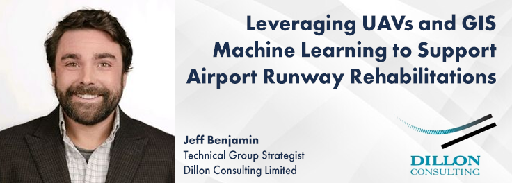
Leveraging UAVs and GIS Machine Learning to Support Airport Runway Rehabilitations
Dillon Consulting was tasked with assessing the rehabilitation needs of Runway 13-31 at Rankin Inlet Airport, a crucial transportation hub in Nunavut. By deploying UAVs equipped with LiDAR and using GIS-based machine learning, Dillon quickly surveyed the entire airport and created detailed digital terrain models. This data allowed for advanced pavement analysis, including crack detection and drainage mapping, optimizing rehabilitation design. The use of cost-effective tech like Ground Penetrating Radar (GPR) and aerial photogrammetry minimized disruption to operations, showcasing a cutting-edge approach to airport infrastructure upgrades.













Be the first to comment