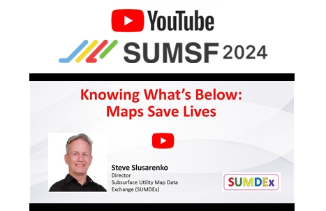
Steve Slusarenko, Director of Subsurface Utility Map Data Exchange (SUMDEx), presented live at SUMSF 2024. This presentation, “Knowing What’s Below: Maps Save Lives,” discusses the importance of accurate maps, not only for saving lives but also for saving costs and time. The presentation mentions that over the last two decades, over 2,000 injuries and 400 fatalities have been reported in the United States from accidental contact with underground infrastructure. Not only is there a safety concern, but there is also an economic impact, with an estimated $91 billion per year in the United States and an estimated $1-3 billion in Canada.
In 2016, there were approximately 134 infrastructure impacts in Japan, compared to one impact per minute (approximately 1,400 daily) in North America. One reason for Japan’s low infrastructure impacts is that they map everything out as part of permit requirements. They need to deliver an accurate map, which is essential for the design to avoid clashes with infrastructure. 
In North America, the One Call system is currently in use. The excavator operator initiates a call to One Call, which informs the utility companies who will then mark the locations of buried infrastructure. There are, however, a few challenges with this system, including potential delays in utility response while awaiting clearances and the possibility of inaccurate utility records. Steve Slusarenko emphasizes the crucial role of accurate mapping in reducing damage and providing situational awareness to workers in the field. He also discusses the importance of ensuring secure data exchange between utility owners and designers, damage prevention stakeholders, and first responders.
The presentation also mentioned a Colorado DOT Project case study, which involved a highway widening project. By obtaining centerline information from utility owners, CDOT could confirm the precise utility locations. This enabled them to ensure minimal redesign, lower bid prices, reduce construction costs, minimize damage by over 90%, and minimize project delays.
The talk also highlights the Subsurface Utility Map Data Exchange (SUMDEx) initiative. This initiative aims to provide a free application called FuzionView, which Gopher State One Call developed. It is intended to facilitate the exchange of buried infrastructure location data, improve damage prevention capabilities, and advance project safety while reducing costs.
Lastly, Steve Slusarenko discusses how the City of Burnaby in British Columbia uses FME to automate the notification response for One Call tickets. Previously, this process took a few days, but now it only takes about 3 or 4 minutes, resulting in cost savings of $120,000 per year. This automation has enabled near real-time data sharing, leading to faster notification responses and a cost reduction.


Be the first to comment