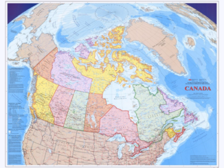
Access to Spatial Data
Canada’s open geospatial data initiative
At the Geospatial World Forum in Geneva, as part of a ministerial panel discussion on government’s role in evolving geospatial policy for national and regional development, Prashant Shukle, Director General of the Canada Centre for […]