
I am in Brazil this week in São Paulo, where I just gave a presentation at the Geo Summit Latin America, which used to be known as GeoBrasil. I have been coming to Brazil for many years for conferences and business and every time I come I discover something new and original that Brazil is doing. For example, several years ago, I became aware that Brazil is considered to have the world’s first biofuels economy and many people believe sugar cane ethanol is the most successful alternative fuel.
In the last year the federal government in Brazil has made some important initiatives in the areas of open standards, open source, and open data.
Open Standards
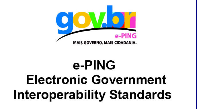 First of all in December, 2008 the Federal government of Brazil published a set of standards for interoperability. The e-PING (Electronic Government Interoperability Standards) architecture defines a minimum group policies and technical specifications for interoperability of electronic government services and the use of Information and information and communication technology (ICT). The areas covered by e-PING are interconnectivity, security, means of access, organization and exchange of Information, and electronic government integration.
In the area of geospatial standards, these are mostly OGC standards and includes GML, Shape, GeoTIFF, Simple Feature Specification for SQL (SFS), WMS, WFS, WCS, CAT, and WKT/WKB.
Open Source
In May, 2008 new guidelines for the procurment of software by the federal government were published called the INSTRUÇÃO NORMATIVA No 04, de 19 de maio de 2008.
Procurement guideline (in order)
- Look for a similar solution somewhere in the Brazilian government
- Look for an open source solution on the Brazilian Public Software Portal
- Look for an open source solution either commercial or public
- Look for a proprietary solution
- If none of the above, develop the application in-house or with a partner
A roadmap of the government’s strategy for the development of free and open source software has been prepared for the Open World Forum in Paris later this year.
Open Data
In the area of open government data, I have blogged previously about what governments around the world are doing to enable public access to free and open government geospatial data. In November, 2008 a decree was published in Brazil that established the principle that federal government data should be made freely available (livre in Portuguese means free in the sense Richard Stallman means free) and without cost to Brazilian citizens.
Decreto 6.666 (November 27, 2008)
“Art. 3o O compartilhamento e disseminação dos dados geoespaciais e seus metadados é obrigatório para todos os órgãos e entidades do Poder Executivo federal e voluntário para os órgãos e entidades dos Poderes Executivos estadual, distrital e municipal. (…)
§ 2o Os dados geoespaciais disponibilizados no DBDG pelos órgãos e entidades federais, estaduais, distritais e municipais devem ser acessados, por meio do SIG Brasil, de forma livre e sem ônus para o usuário devidamente identificado, observado o disposto no § 1o.“
(It is mandatory for all Federal Government Agencies to publish geospatial data freely and free of charge to any identified user.)
I would like to thank Helton Uchoa of OpenGeo for making me aware of, researching and translating this information.

Be the first to comment