
Last week I had the opportunity to present a keynote at the Sitewell VIP Conference on Land and Infrastructure Management. Sitewell are the developers of the Czech Ministry of Agriculture’s LPIS System that is used to qualify land use and distribute agricultural subsidies to Czech agricultural producers.
Mojmir Macek, General Manager of Sitewell, gave a provocative presentation on the evolution of geospatial technology.
Islands of Information
From Mojmir’s perspective the major problem 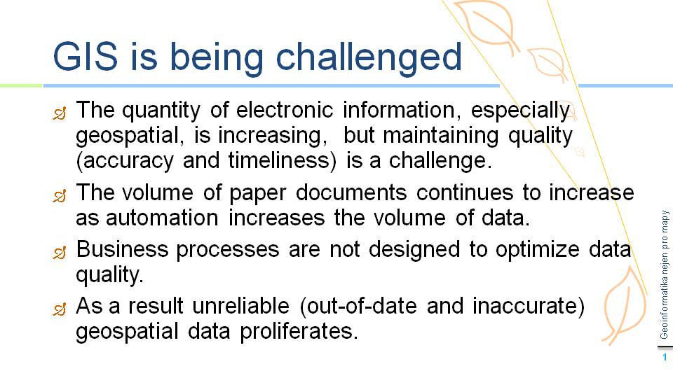 that we are facing is islands of information or stovepipes, where the flow of information always involves making copies, which means redundant data. Redundant data has to be maintained which means redundant processes.
Data Quality
One of the most serious problems facing organizations using geospatial data is data quality. The problem is exacerbated by a number of factors including the
continuing proliferation of paper, increasing data volume, and inefficient business processes.
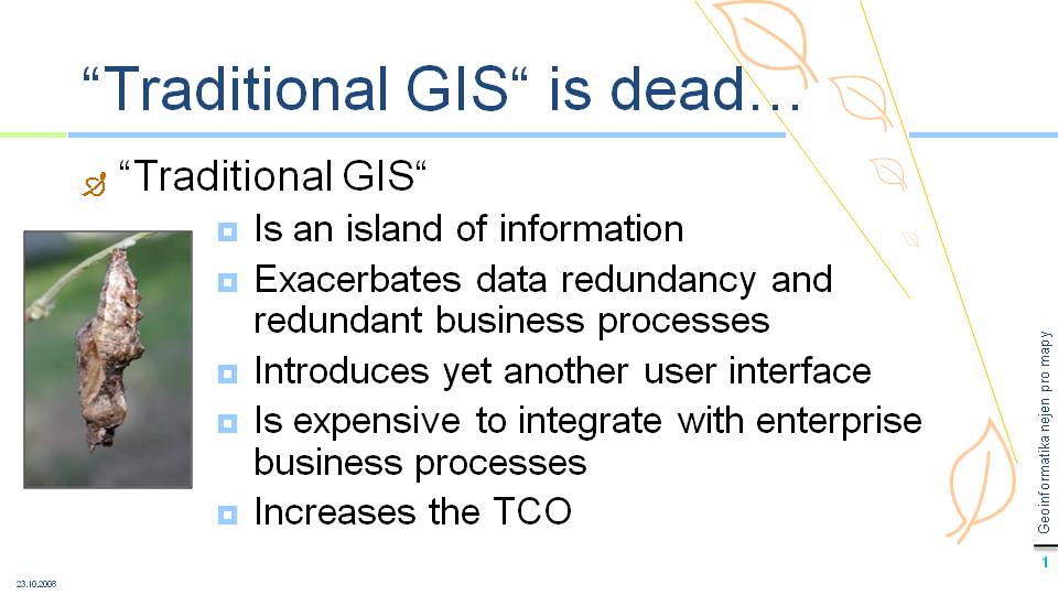
“Traditional GIS” is Dead
Mojmir is convinced that this spells the end for “traditional GIS”, which creates yet another information stovepipe. It is expensive to integrate with other enterprise applications, requires training staff on another user interface, and exacerbates the problem of redundant data. 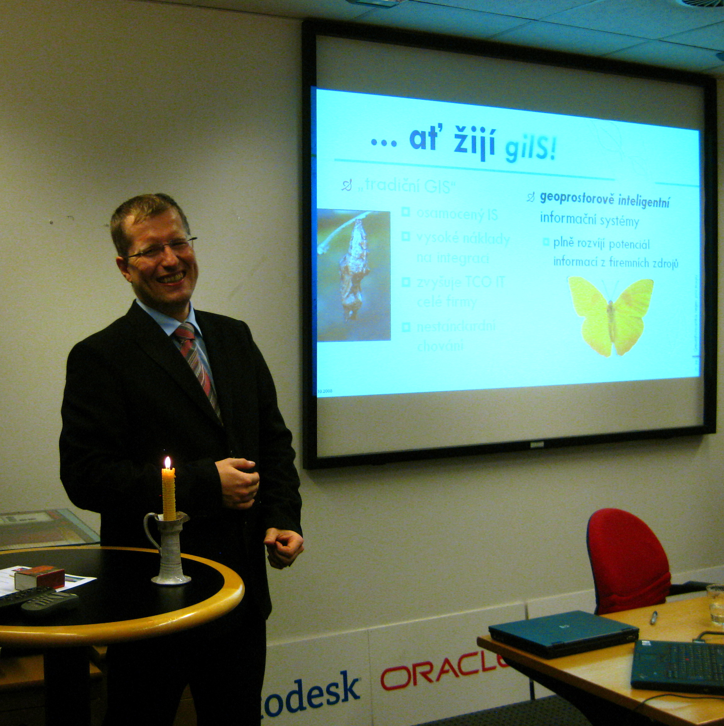
Mojmir emphasized his point by lighting a candle and holding a mock wake for “traditional GIS.”
Long Live geospatially intelligent Information Systems (giIS)
What Mojmir sees happening is that location is becoming ubiquitous, not as stovepipe “traditional GIS” applications, but integrated with existing applications such as search engines, relational database management systems (RDBMS), and CAD/BIM, in other words, what Mojmir calls geospatially intelligent information systems giIS (or what some people prefer to call location intelligent information systems).

Be the first to comment