
Last week after Map Middle East we drove from Abu Dhabi to Dubai, where I spent the day with some of our partners. This was the first time I had been in Dubai since the Burj Dubai had been topped out at 818m or 2684 ft in Jan 2009.
There is still construction everywhere you look in Dubai, including the new Metro, a portion of which you can see in the images and which is undergoing trials right now The Dubai Metro will be the longest fully automated rail system in the world when it opens in September 2009.
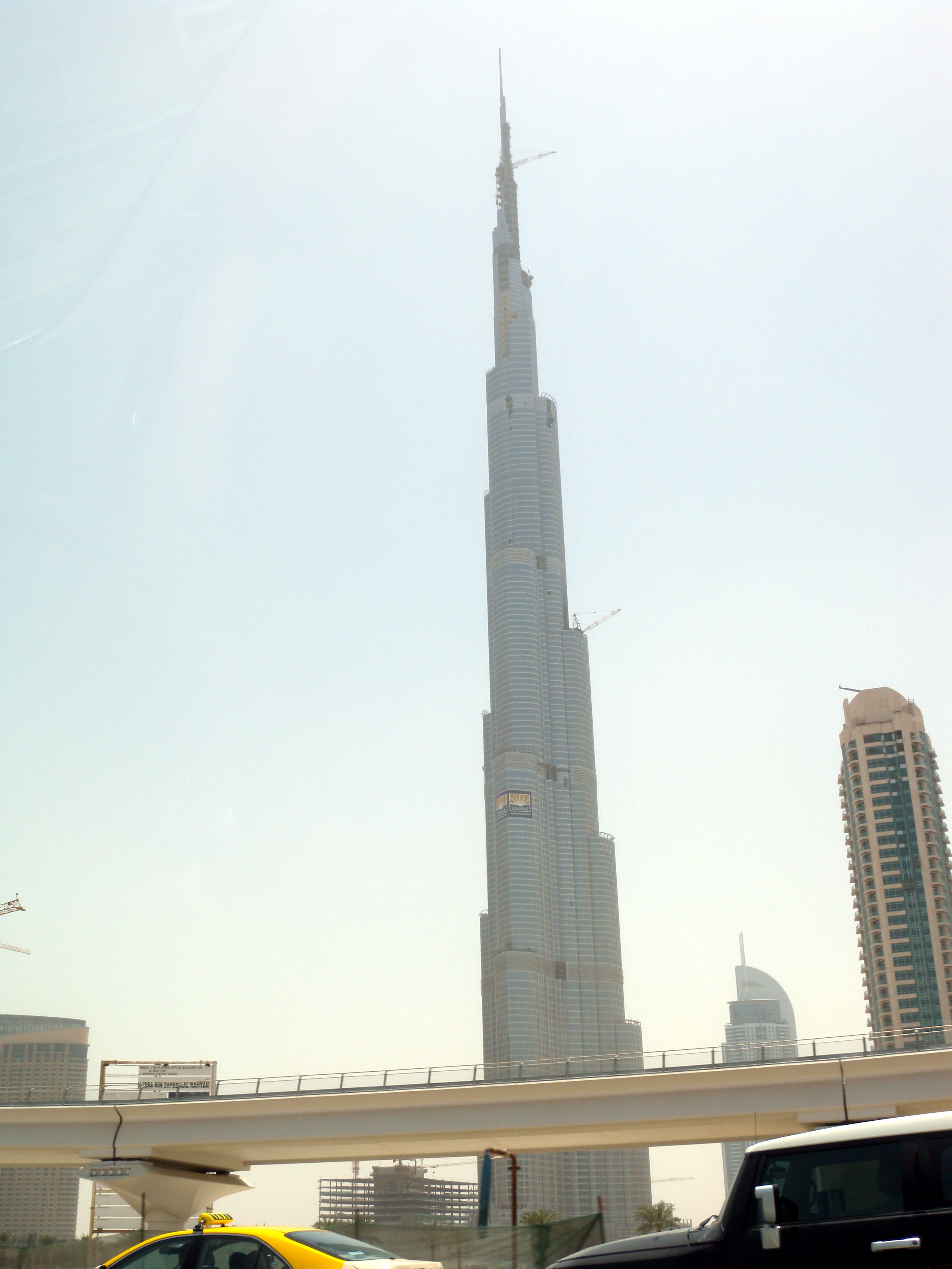 The Burj Dubai, which is the building in the centre in the images, has reached its maximm height, but apparently there is a lot of work still ongoing on for the external cladding and internal facilities. It is also scheduled for completion in September 2009.
If you’re interested in seeing the tallest building in the world (Technically the Burj Dubai is the tallest structure in the world, but won’t officially be the tallest building until it opens.) and taking a ride on the world’s longest fully automated rail system, Dubai in September is the place to be. Of course you can also go skiing while you’re there.
In addition Abu Dhabi is only about two hours away. The Abu Dhabi Corniche is remarkable, a kilometres long swath of green between the desert and the Gulf. The Emirates Palace Hotel is incredible. Abu Dhabi will be opening the “Desert Louvre” in about five years.

Be the first to comment