Conference news
Maxar Joins GeoIgnite 2025 as Bronze Sponsor
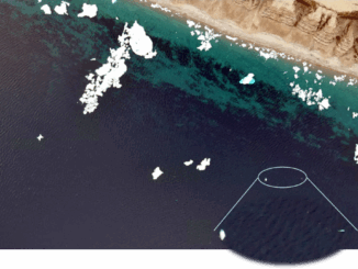
Ottawa, Canada: Maxar, a global leader in Earth Intelligence and space-based solutions, has officially joined GeoIgnite 2025 as a Bronze Sponsor and Exhibitor. GeoIgnite 2025, taking place from May 12-14, 2025, at the Ottawa Conference […]